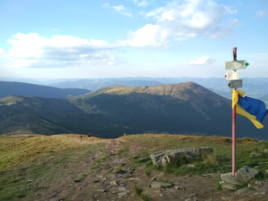
#Chornohora
Text
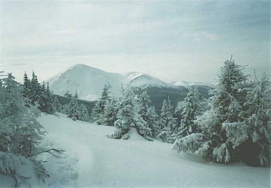
Next site in support of Ukraine.
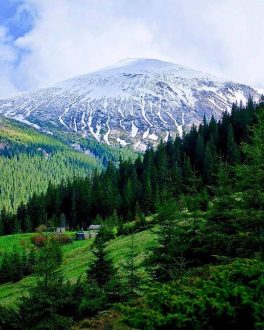
Mount Petros in the Chornohora Range in Zakarpattia Oblast. It is the highest mountain range in Western Ukraine, and Mount Petros itself is 6,630 feet. (The highest peak is Mount Hoverla at 6,762 feet, which we visited earlier in the🧵)
#StandWithUkraine
#SlavaUkraïni 🇺🇦🌻


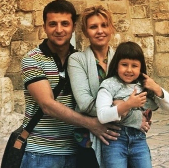
And another pic of Volodymyr Zelenskyy and Olena Zelenska in happier times, along with their daughter Oleksandra, who is now 19 years old. This happy family man has definitely become an inspirational leader of a great nation. #ZelenskyyWarHero
#SlavaUkraïni 🇺🇦 🌻
20 notes
·
View notes
Photo

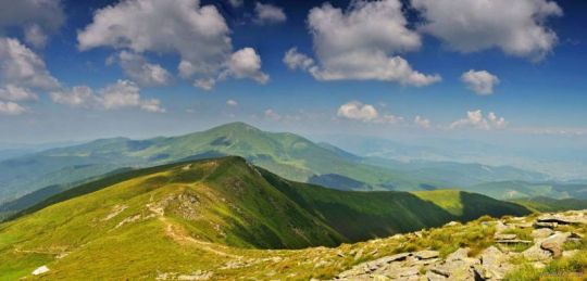
carpathian mountain landscape in summer. forested hills and grassy meadows in morning light. chornohora ridge and hoverla peak in the distance. popular travel destination of ukraine. clouds on the sky - carpathian mountain landscape in summer. forested hills and grassy meadows in morning light. chornohora ridge and hoverla peak in the distance. popular travel destination of ukraine. clouds on the sky
169 notes
·
View notes
Photo

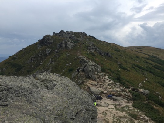
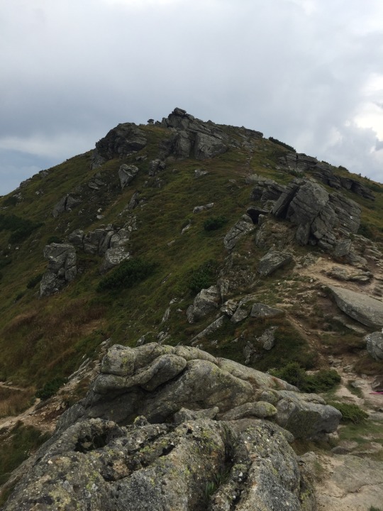
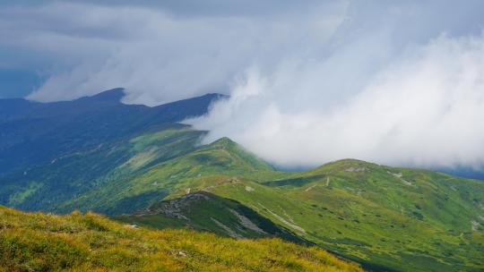
Chornohora ridge, Carpathians, Ukraine [OC] [4000x3000]
2 notes
·
View notes
Text

mt. Hoverla and mt. Petros
I have revised some old photos. Gotta give them a second chance. All taken in the Ukrainian Carpathians, on the Chornohora trail.
#ukraine#carpathian mountains#hoverla#petros#mountains#nature#backpacking#hiking#trees#forest#photography#photo#russia is a terrorist state
1 note
·
View note
Text
Top 7 spots in the Carpathian Mountains worthy of your attention
Ukrainian Carpathians are part of the eponymous mountain system of Eastern Europe with an area of 24,000 sq km. They are Ukraine’s highest mountains!
It’s a stunning region of nature, reserves, and parks, with unique flora and fauna. Beyond its remarkable natural beauty, the Ukrainian Carpathians hold great cultural and historical significance. The region is deeply intertwined with the unique Ukrainian heritage, with centuries-old traditions, folklore, and a unique way of life that have influenced the local communities for centuries.
Ukrainian Carpathians are the highest mountain range in Ukraine. It’s a place of magnificent nature with numerous reserves, landscape and natural parks. The area bears significance for Ukrainian history and culture, and is a very popular tourist destination. Discover the Carpathians with us.
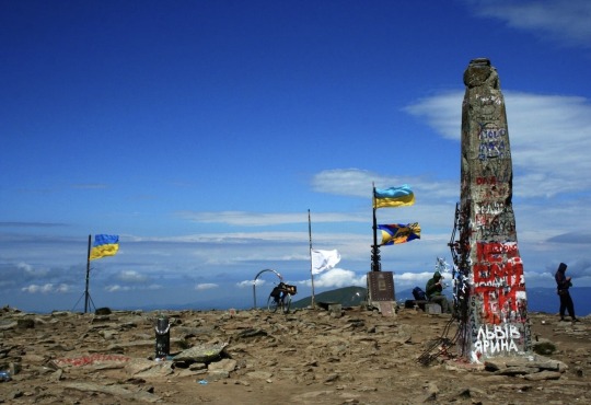
Hoverla
The highest mountain in Ukraine at 2061m and a popular hiking peak. Hundreds of people climb it every year. A monument containing soil from all regions of Ukraine is installed on the top of the mountain.
Synevyr
The largest lake of the Ukrainian Carpathians. It is approximately 10,000 years old, and its depth is up to 24 meters.
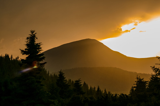
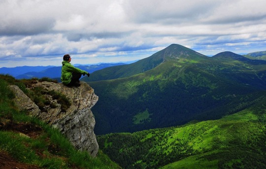
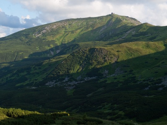
Pip Ivan or Chornohora
The third highest mountain of Ukrainian Carpathians at 2020m. A former observatory is located on the top of the mountain. It got named as White Elephant because in the winter it is completely covered with snow and resembles an elephant.
Brebeneskul
The highest mountain lake in Ukraine. It’s located at 1801m above the sea level. It is considered to be the warmest among other alpine lakes in the Ukrainian Carpathians.
Shpytsi
A unique mountain with a height of 1863 meters. It has a number of rock ledges 20-50 meters high. This mountain resembles spirers, hence its name in Ukrainian.
Shypit
The waterfall is 14 meters high and has five cascades. It’s considered the loudest waterfall in the Ukrainian Carpathians.
Tustan
A cliff that used to be a fortress in the 12-16th centuries. It was an important defensive structure in the days of the Kyivan Rus and guarded the salt route to Europe.
Ukraine is beautiful!
Share this post with your friends!
0 notes
Text
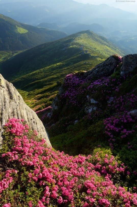
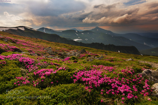
Flowering Carpathians, Chornohora, Ukraine
1 note
·
View note
Text
Ukraine Carpathian Mountains Pip Ivan (Chornohora) oil on canvas-Wall art Contemporary art Oil painting On canvas Art Decor Bedroom
Look what I found on Etsy: https://www.etsy.com/listing/865445620/ukraine-carpathian-mountains-pip-ivan?ref=share_v4_lx
1 note
·
View note
Text
6 notes
·
View notes


Text

Mount Hoverla is the highest mountain in Ukraine(2,061 metres) and part of the Carpathian Mountains. The mountain is located in the Eastern Beskides, in the Chornohora region. The slopes are covered with beech and spruce forests, above which there is a belt of sub-alpine meadows called polonyna in Ukrainian. At the eastern slope there is the main spring of the Prut River. The name is of Old Hungarian origin and means 'snow mountain'.
#ukraine#europe#beautiful#slavic#україна#украина#european#ukrainians#ua#ukrainian#carpathian mountians#carpathiana#mountains#nature#travel#hiking#travel blog#world#explore#trees#peaceful
11 notes
·
View notes
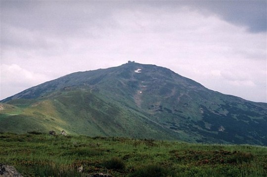
Text
My next post in support of Ukraine is:
Next site, Pip Ivan, the third highest mountain at 6,634 feet in the Chornohora range of Western Ukraine. In the pics, you can see the ruins of an astronomical & meteorological observatory that was built on top of the mountain by the Polish government in 1936-1938. It was used up until WWII. When the war started, the observatory personnel were evacuated, and some equipment was dismantled and removed. After WWII, when the area became part of the USSR, muscovy also tried to use it for meteorological studies but stopped after two years. It was abandoned in 1944. In 2012, restoration was started on the site. The roof, floors, doors, and windows were replaced, and a fireplace was added. It's become popular with tourists.
#StandWithUkraine
#SlavaUkraïni 🇺🇦🌻


9 notes
·
View notes
Photo

green nature environment of trascarpathia. beautiful scenery in mountains of chornohora ridge in summer. landscape with spruce forest on the hill on a sunny day - green nature environment of trascarpathia. beautiful scenery in mountains of chornohora ridge in summer. landscape with spruce forest on the hill on a sunny day
9 notes
·
View notes
Photo
Chornohora, Carpathians, Ukraine [OC] [6000*3375]
4 notes
·
View notes
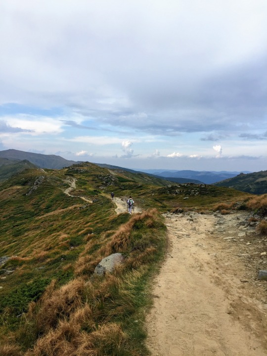
Photo
New on 500px : On the Chornohora ridge by reme80 by reme80 from 500px For download Click Here
#500px#hill#hillside#landscape#mountain#mountain peak#mountain range#ridge#rolling landscape#scenic#scenics#snowcapped#valley
1 note
·
View note
Photo

On the Chornohora ridge by reme80
1 note
·
View note
Photo


Det var Norsk Chornohora Marafonen. Veldig vanskelig men jeg har åpnet meg fra et nytt perspektiv!
0 notes
Last Seen Blogs

foggystudentdragondeputy
Untitled

shreya563
Personalized dog name tags
30em78rpm
Brasil, 1902-1929. (Em 78rpm.)


nfcpr
NFC広報