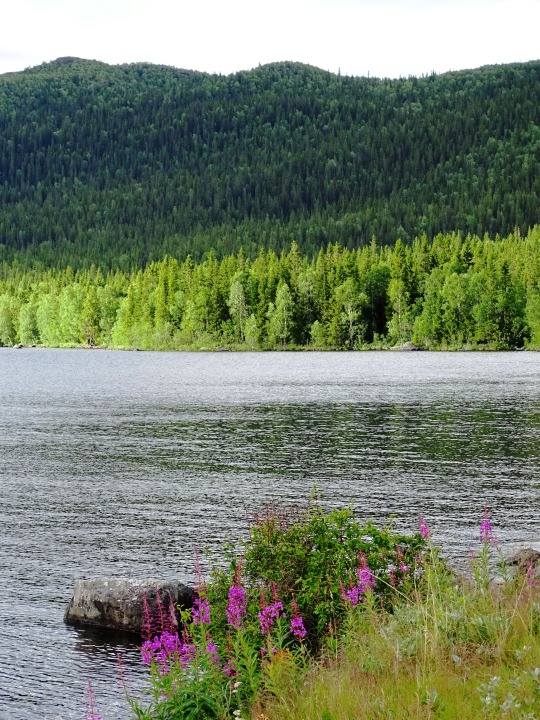
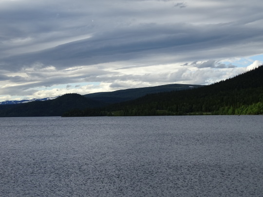
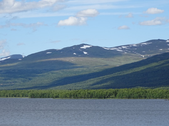
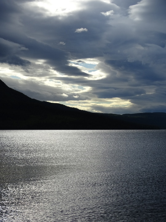
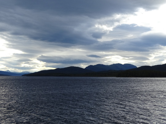
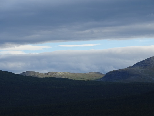
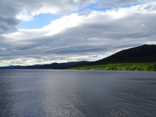
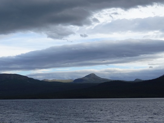
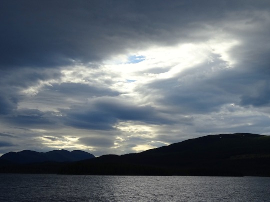
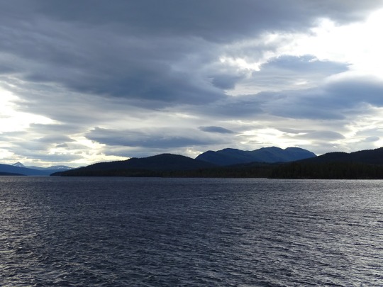
#Lake Gäutan
Photo
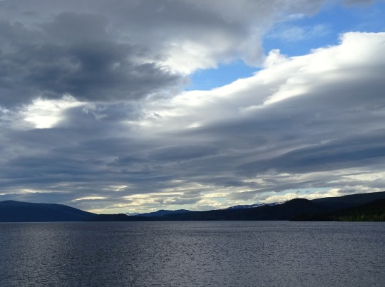
Dramatic Sky
What do you think about my pic?
#Lake Gäutan#Tärnaby#Swedish Lapland#Sweden#Sverige#nature#travel#summer 2020#original photography#evening light#water#clouds#hills#mountains#Scandinavia#Northern Europe#view#tourist attraction#photo of the day#What do you think about my pic?#ripples#vacation#Storuman Municipality#Västerbotten County
6 notes
·
View notes
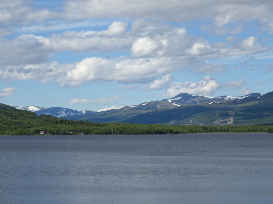
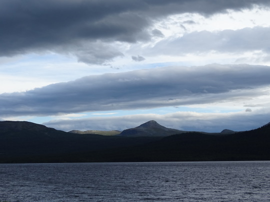
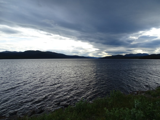
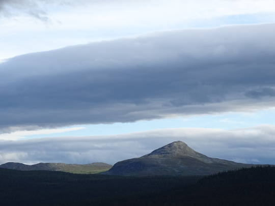
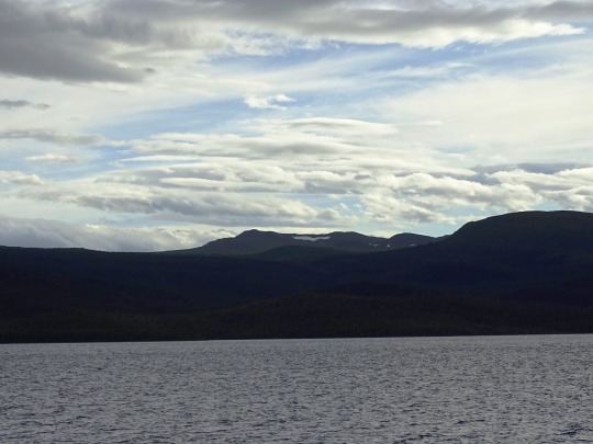
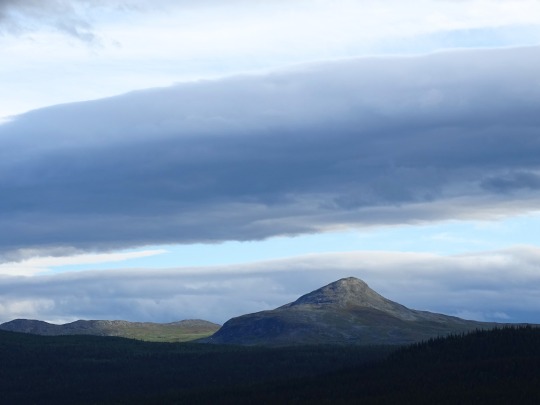
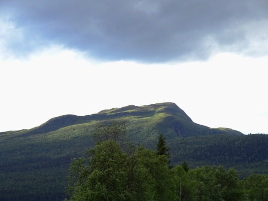
Photo
View of the day. The view from Tärnaby towards lake Gäutan and the sacred mountain Ryfjället in the distance. Julevu.com https://www.instagram.com/p/CNLEfR2HbHt/?igshid=tl2f3czd921a
0 notes
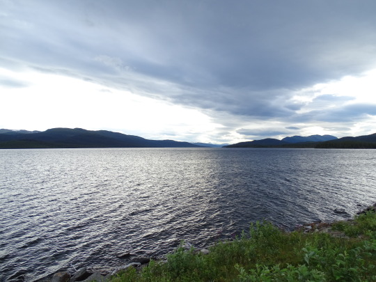
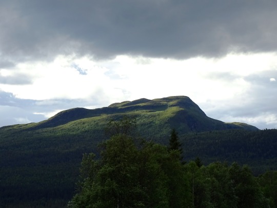
Photo
We were lucky to witness a beautiful sunrise over Lake Gäutan. It will be only 4 hours later until the sun sets again this time of year. So amazing! ☀️🇸🇪 ⠀⠀⠀⠀⠀⠀⠀⠀⠀ @visithemavantarnaby #visithemavantarnaby#hemavantarnabymoments #hemavan #riktigafjäll #tarnaby #sweden #lapland #gäutan (bij Hemavan Tärnaby®)
0 notes
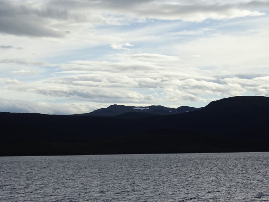
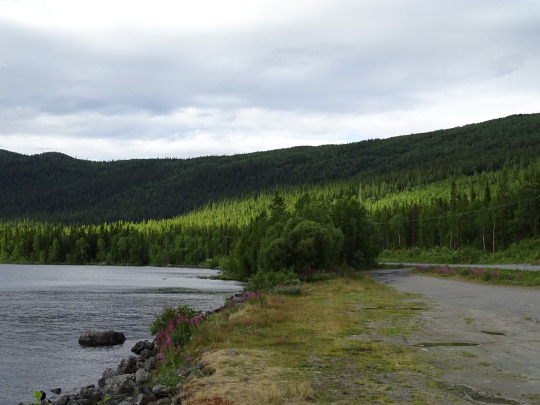
Photo


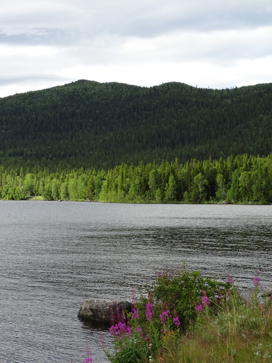
Gäutan/Gardiken Lake, Sweden (No. 2)
Lappland has a subarctic climate in its lower areas, whereas a polar variety can be found in Tarfala, where the average high for the warmest month of the year (July) is lower than 10 °C (50 °F) in mean temperatures. The southern parts of the province are significantly milder than the northern, due to the vast geographical differences. However, since Lappland is all made up of inland areas, maritime moderation is less significant than in the counties' coastal areas and in neighbouring Norway, resulting in harsh winters. Southern areas at a lower elevation such as Lycksele also have relatively warm summers. Due to the arctic circle, the northern areas of the province experience midnight sun and a moderate polar night with some civil twilight during opposite sides of the year.
Source: Wikipedia
#Lake Gäutan#Gardiken Lake#Tärnaby#Storuman Municipality#Sweden#Västerbotten County#evening light#mountains#snow#forest#nature#flora#fireweed#lake shore#Sverige#landscape#countryside#Scandinavia#Northern Europe#Swedish Lapland#Lappland#clouds#summer 2020#wildflower#silhouette#tourist attraction#landmark
5 notes
·
View notes
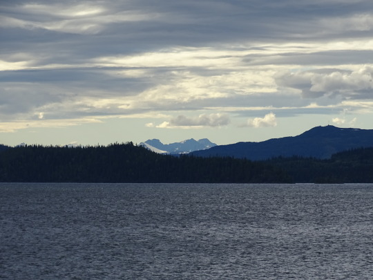
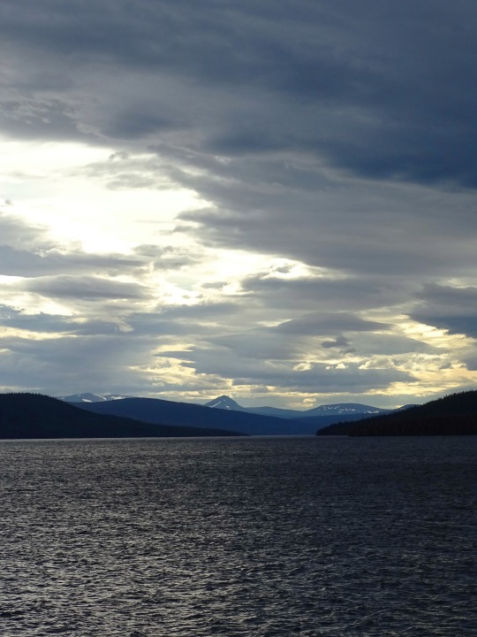
Photo


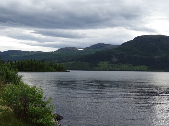
Gäutan/Gardiken Lake, Sweden (No. 1)
Gardiken is a lake in the municipality of Storuman in Lapland and is part of björkvattsdalen in the main catchment area of the Ume River. The lake is 61.5 meters deep, has an area of 56.7 square kilometers and is located 391.1 meters above sea level. During test fishing, perch, char, whitefish and trout have been caught in the lake. At the lake's outlet is the Gardikfors power station, which is a power plant with an output of 60 MW under Vattenfall's direction.
Gardiken is part of the sub-catchment area (726772-148552) which SMHI calls the Outlet of the Gardiken. The average height is 535 meters above sea level and the surface area is 242.19 square kilometers. If the 340 catchment areas are included, the accumulated area will be 4,358.97 square kilometres. The outflow of the catchment area Umeälven flows into the sea. The catchment area consists mostly of forests (65 percent). The catchment area has 57.42 square kilometers of water surfaces, giving it a lake percentage of 23.7 percent.
Source: Wikipedia
#Gardiken#Gäutan lake#Storuman Municipality#Västerbotten County#travel#Tärnaby#moutains#snow#forest#landscape#countryside#nature#flora#evening light#clouds#overcast#reflection#landmark#tourist attraction#bush#lake shore#Swedish Lapland#Lappland#vacation#summer 2020#Sverige#Sweden#Scandinavia#Northern Europe#original photography
4 notes
·
View notes
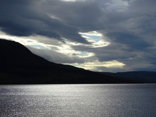
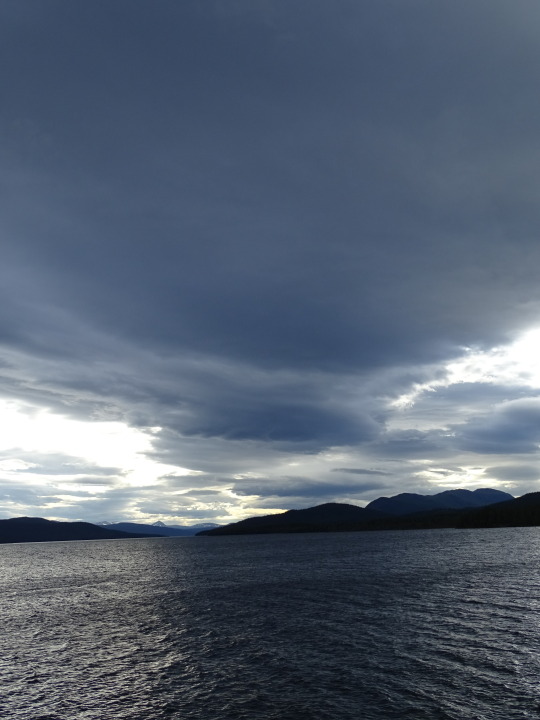
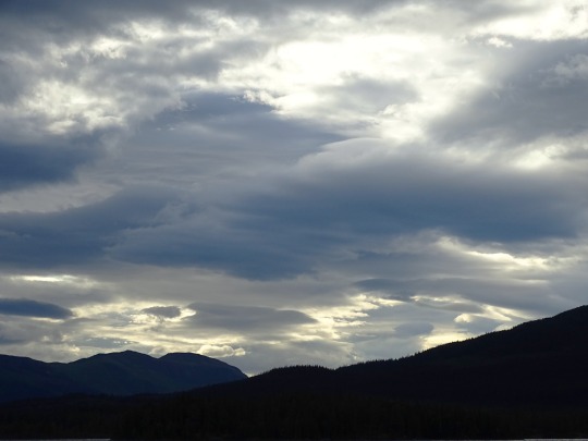
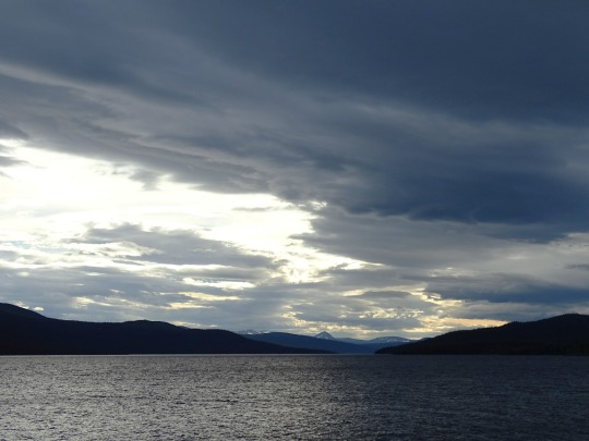
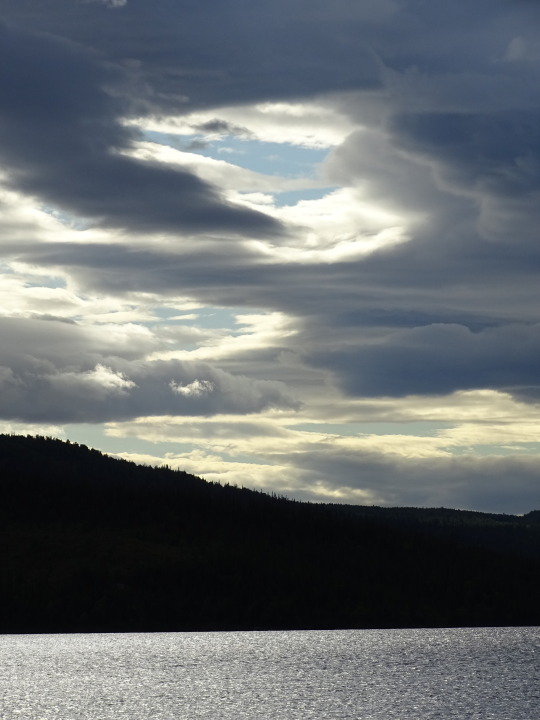
Photo


Clouds (No. 295)
Stor-Laisan, Sweden (six pics)
Gäutan Lake, Slussfors (four pics)
#Stor-Laisan#Västerbotten County#Storuman Municipality#Lapland#snow#mountains#stuga#water#blue sky#clouds#original photography#forest#woods#architecture#landscape#countryside#Gäutan Lake#Slussfors#lake shore#hills#ripples#flora#nature#evening light#summer 2020#Sweden#Sverige#Scandinavia#Northern Europe
5 notes
·
View notes
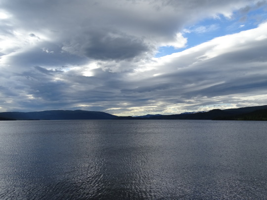
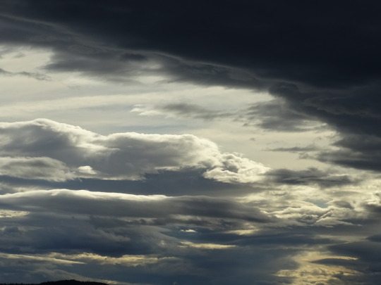
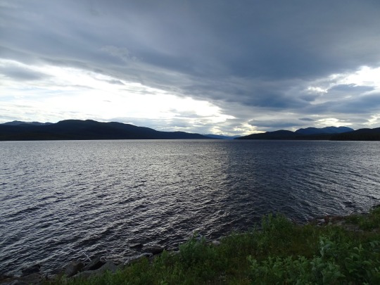
Photo


Clouds (No. 295)
Gäutan Lake, Slussfors
#Gäutan Lake#Slussfors#Västerbotten County#mountains#hills#snow#sky#clouds#nature#landscape#countryside#flora#woods#forest#tree#reflection#original photography#summer 2020#evening light#Sweden#Sverige#Scandinavia#Northern Europe#Lapland#Swedish Lapland
3 notes
·
View notes
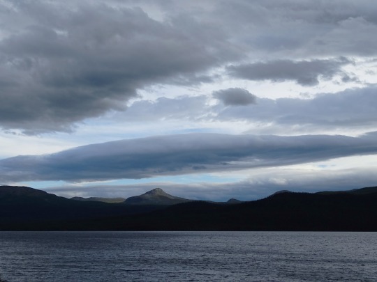
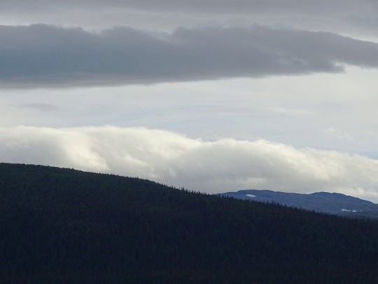
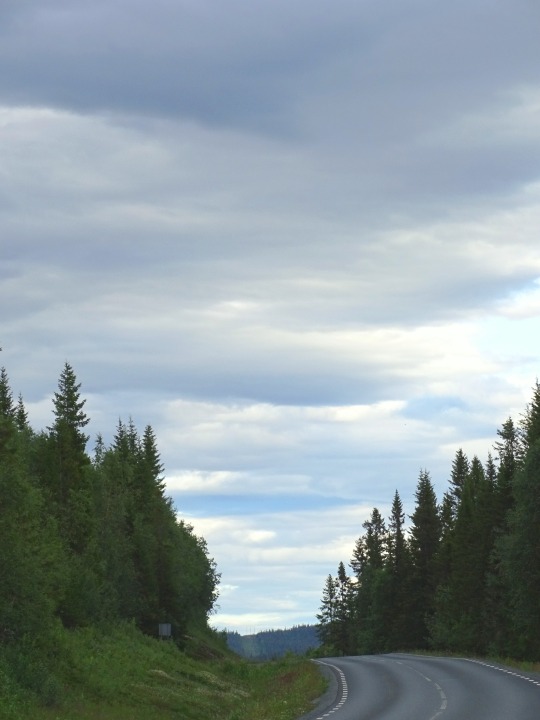
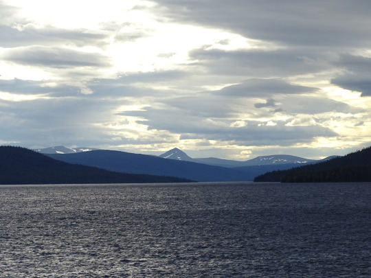
Photo


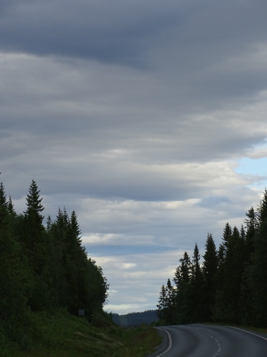
Clouds (No. 297)
Gäutan Lake, Slussfors (seven pics)
Västerbotten County, Sweden (three pics)
#Gäutan Lake#Slussfors#Västerbotten County#Municipality of Storuman#travel#Distrikt Stensele#E12#European route E12#hills#woods#forest#original photography#landscape#countryside#lake shore#water#reflection#summer 2020#Lapland#mountain#street scene#grass#snow#flora#nature#Sweden#Sverige#Northern Europe#Scandinavia#Swedish Lapland
2 notes
·
View notes
Photo


Clouds (No. 296)
Gäutan Lake, Slussfors
#Gäutan Lake#Slussfors#Västerbotten County#Storuman Municipality#travel#Sweden#Lapland#nature#hill#mountains#snow#landscape#water#sky#clouds#evening light#Northern Europe#Scandinavia#tourist attraction#original photography#summer 2020#beach#lake shore#forest#woods#tree#ripples#flora#Swedish Lapland
2 notes
·
View notes
Photo


Gäutan/Gardiken Lake, Sweden (No. 5)
European route E12 is a road that is part of the International E-road network. It begins in Mo i Rana, Norway, transverses Sweden and ends in Helsinki, Finland, with a ferry line between Sweden and Finland. The part within Finland is Finnish national highway 3. The road is about 910 km (570 mi) in length.
The road follows the route: Mo i Rana – Storuman, Sweden – Lycksele, Sweden – Umeå, Sweden – Holmsund, Sweden – (ferry) – Vaasa, Finland – Tampere, Finland – Hämeenlinna, Finland – Helsinki.
The ferry service between Holmsund and Vaasa is operated by Wasa Line using the M/S Aurora Botnia, with up to two daily departures in each direction taking about three and a half hours.
A road bridge, known as the Kvarken Bridge has been proposed by parties on both sides of the Gulf, along which the E12 could continue without ferry connections. No commitment has been made to build such a fixed link.
Source: Wikipedia
#European route E12#Lake Gäutan#Gardiken Lake#Tärnaby#Sweden#landscape#countryside#sky#overcast#woods#Forest#travel#vacation#evening light#summer 2020#original photography#tourist attraction#landmark#Swedish Lapland#Lappland#Storuman Municipality#Västerbotten County#snow#mountains#silhouette#ripples#lake shore#flora
0 notes
Photo


Gäutan/Gardiken Lake, Sweden (No. 3)
The history of Lappland is in many ways connected to the history of Norrbotten County and Västerbotten County, since Lappland is a historic region connected to these counties. During the Middle Ages, Norrbotten/Lappland was considered a no man's land. The area was in fact populated by nomadic Sami people, but the region became increasingly settled by Swedish, Finnish and Norwegian settlers - especially along the coasts and large rivers. From the Middle Ages on, the Swedish kings tried to colonise and Christianise the area using settlers from what is now Finland and southern Sweden. Today, despite large-scale assimilation into the dominant Swedish culture, Finnish and Sami minorities continue to maintain their cultures and identities.
Despite independent cultural presence, religious beliefs were subject to conversion in the 17th and 18th centuries resulting in Lapplanders generally leaving their original shamanism and converting to Lutheranism. Since the 19th century, Lappland has been particularly characterised by Laestadian Lutheranism.
During the industrialization of Sweden in the late-19th century, natural resources (hydroelectricity, timber and minerals) from Lappland and surrounding provinces played a key role. Still, mining, forestry and hydroelectric power are the backbone of the local economy, together with municipal services. The unemployment has however been relatively high for several decades and many young people leave for the larger cities by the coast or in southern Sweden.
Source: Wikipedia
#Lake Gäutan#Gardiken Lake#Tärnaby#Storuman Municipality#Sweden#Västerbotten County#Sverige#evening light#mountains#woods#tree#nature#landscape#countryside#original photography#vacation#travel#summer 2020#Swedish Lapland#Lappland#clouds#silhouette#ripples#reflection#tourist attraction#landmark#lake shore
1 note
·
View note
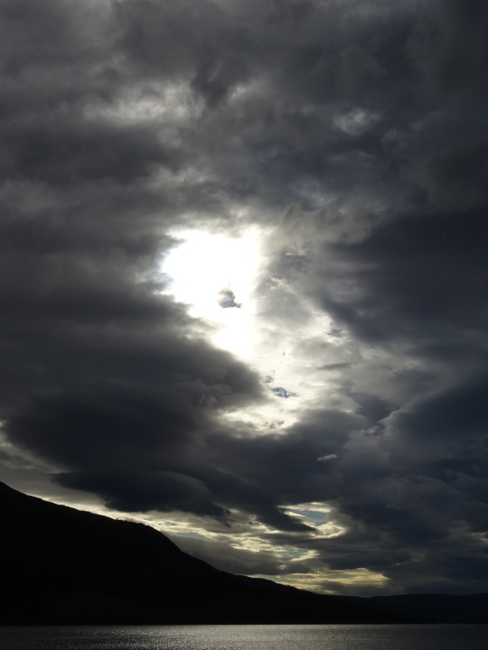
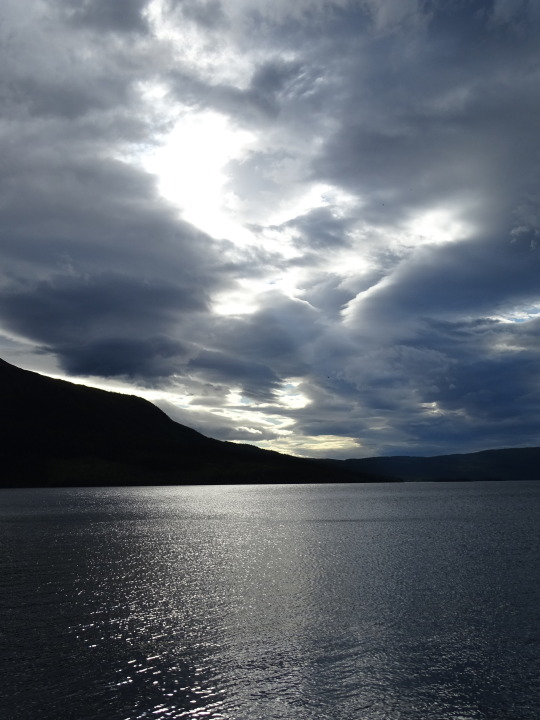
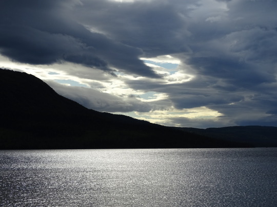
Photo
Dark Clouds
What do you think about my pic?
#Lake Gäutan#Gardiken#Tärnaby#Västerbotten County#evening light#clouds#sky#water#reflection#silhouette#summer 2020#Sweden#Sverige#Scandinavia#Northern Europe#Swedish Lapland#nature#landscape#countryside#vacation#travel#photo of the day#hills#What do you think about my pic?
1 note
·
View note
Last Seen Blogs

fortunately-haunted
Untitled

goblingal2k2
I follow where the fanfics take me.

antiodote
tell me what you want and you got it, love

flowgunart
Untitled

freshdaily
Fresh Daily