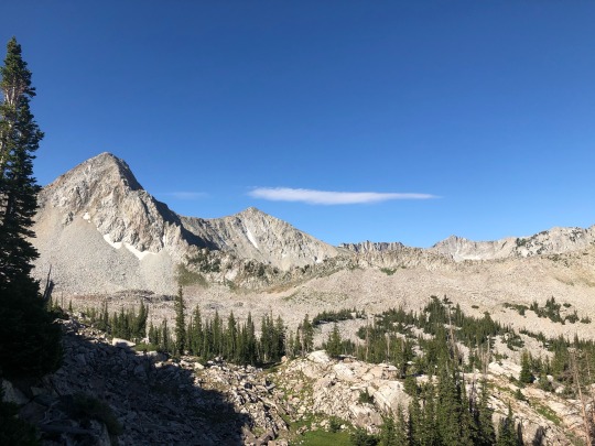
#maybird gulch
Text


Pika and BABY PIKA
#nature#utah#mountains#hiking#landscape#salt lake city#pika#wildlife#baby animal#maybird gulch#wasatch
76 notes
·
View notes
Text
Ski Mountaineering Classics of the Wasatch – ITCOG
When I started thinking about writing this article I decided I first need to define a few terms. What is ski mountaineering? What makes something “Classic”? And what are the Wasatch?
I took the Ski mountaineering definition from my website.
Ski Mountaineering: the discipline of climbing and descending mountains with the use of skis. Often, using the methods and tools of more traditional mountain climbing. Some of these tools include Crampons, Ice Axe, Harness and rope. Some of the methods include repelling and belaying as well as technical alpine climbing techniques. But ski mountaineering also includes technical descents. Technical descents include Belayed skiing, rappels (with and without skis), and definitely Steep and often exposed skiing.
The definition of “Classic” from the Merriam-Webster dictionary.
Classic: serving as a standard of excellence: of recognized value
Wikipedia came up with a good description of the “Wasatch”
The Wasatch is a mountain range in Utah which forms the western end of the Rocky Mountains and runs 160 miles from the Utah-Idaho border to central Utah. All the major ski areas: Alta, Snowbird, Brighton, Solitude, Park City, and even Snow Basin and Powder mountain are in the Wasatch mountains.
Now that we are all clear about what we are talking about, let’s talk about what you actually want to know. What are the classic ski mountaineering objectives of the Wasatch? Here in the Wasatch, we have some very classic ski descents, including four entries into Chris Davenports coffee table best seller “Fifty Classic Ski Descents of North America”, and made more famous by the documentary “The Fifty” staring Cody Townsend. These four classics: Mount Superior’s South Face, Thunder Ridge’s Hypodermic Needle, Mount Timpanogos’s Cold Fusion, and Mount Tukuhnikivatz in the La Sals, are the Utah four to make the cut.
Andrew Mclean’s “the Chuting Gallery” is another well-known tic list of Wasatch ski mountaineering. His book includes some of our favorites like The Pfifferhorns NW couloir, The East couloir on Kessler, and Monte Cristo’s Edge of the World to Directissimo.
These are great lists, but I will be covering the 5 that I believe are the most “Classic” Ski Mountaineering objectives in the Wasatch.
Mount Superior, South Face:
This is probably the most iconic mountain in all of the Wasatch. Directly across the road from Alta and Snowbird, the south face of this beauty is in full view from both ski areas. This visibility contributes to the allure of the mountain as well as its accessibility.
The south face is on just about everyone’s tic list once they see it. That’s a lot of people considering its prominence in the views from two major ski resorts. It is a worthy line, that deserves a lot more respect than one might suspect given the number of tracks that can be seen on the face almost every single day. Don’t be one of the many that think skinning or booting directly up the face is ok. There are way too many people for that silliness!
From the Our Lady of the Snow church in the town of Alta start skinning due north to Cardiff Pass (also known as Pole Line Pass due to the power line that leads you directly to this pass). This first section is well-traveled and should take most parties 1 to 2 hours and gains 1400’. From the Pass head west following the undulating, and at times difficult east ridge to the summit of Superior. This ridgeline gains an additional 1000’, but that doesn’t include the ups and downs as you follow the ridge line. Most parties will take between 2-4 hours on this ridge.
Once on the summit, there are a number of different ways down. All routes are exposed and their difficulty changes depending on snow coverage. When properly filled in, directly off the summit is the classic line. Scope it out from the road before heading up as you can get cliffed out if you pick the wrong line
The Pfifferhorn, North West Couloir:
In some ways, skiing the North West Couloir of the Pfifferhorn is the most technical of the classics I list in this article. The technical aspect is due to the fact that you are skiing above a cliff, which requires a rappel to overcome it. The skiing is exposed and should only be attempted by solid skiers with good technical rope skills.
The trail starts at the White Pine parking lot. Follow the summer trail, crossing the bridge where the trail meets the creek and continuing up and around Pink Pine ridge into Red Pine. Make your way to the top of Red Pine, where you gain the ridge by ascending the headwall. Traverse around No Name Baldy to the south, and then follow the sometimes narrow ridge to where it meets the broad east ridge/face of the Pfifferhorn. Ascend this ridge/face to the summit.
Once on the Summit, you will be able to look down the Northwest Couloir. The top is often narrow and requires down climbing or even a rappel. At first narrow, the soon couloir opens up and is at it’s widest just before the pinch.
At the pinch, there is a bolted anchor on the skier’s right wall. Clip-in, remove your skis and set up the rappel. From the bottom of the rappel, the skiing is slightly less steep and fairly open. The final apron is often amazing skiing in wide-open terrain.
Thunder Ridge, Hypodermic Needle:
The Hypodermic is one of the most striking lines in the Wasatch and is visible from both Alta and Snowbird. This obvious couloir is 1000’ long and has a sustained steepness of 45 degrees or greater. You will want to ski it as soon as you see it, but many don’t because it takes a fair amount of work to get there. There is more than one way to get there, but most culminate with a 1000’ booter directly up the couloir.
My preferred approach is from the White Pine parking lot. Following the summer trail into White Pine, across the bridge, and around Pink Pine ridge into Red Pine, is the first part of this long journey. Once in Red Pine head up the drainage to what is known locally as the Red Pine trees. The top of Red Pine trees flattens out and as you traverse west, you will find yourself in Mambird Gulch. From Maybird ascend the obvious ridge up Hogum Hogback, followed by an enjoyable ski down Hogum 200 into Hogum fork.
It is obvious where to go from here, the couloir will be in its full glory above you. Skin until it becomes too steep and then boot to the top.
From the top of the couloir to the road is nearly 5000’ of great skiing. Exiting Hogum fork is doable if you stay left of the creek where it becomes a waterfall. Pick your way to the road and thumb your way back to your vehicle.
Thunder Mt. North Peak, Coalpit Headwall:
The Coalpit Headwall is a remote and steep north face which can be viewed from the road and many vistas on the north side of Little Cottonwood canyon. This exposed face often has the greatest danger from an avalanche perspective, than any of the “Classics” I describe here. Even a small avalanche could be fatal, so choose your timing wisely.
To approach you can follow the same approach described for the Hypodermic Needle, or try something different. I will describe approaching via the Y couloir. Look for a pull out on the south side of the road 2.7 miles from the mouth of the canyon. From the parking it should be obvious following a trail, taking the initial right dog leg in the couloir and then left all the way to the top. The traverse into Coalpit is steep and often exposed, but it is fairly direct. Once in Coalpit gulch continue to a saddle in the southwest corner of the upper headwall, with will give you access to your booter up the Hypodermic needle.
From the top pick your way down the exposed face taking caution not to get knocked off your feet with your own sluff. This is nearly 2000’ of technical skiing mellowing slightly as you descend. You can exit by continuing down the gulch, as long as you have your rope to get around the waterfall.
Mount Timpanogos, Cold Fusion:
From the suburbs of Provo the North summit of Timpanogos towers, providing stunning views of this spectacular ski line. This line does’t get nearly as much traffic or attention as the other classics I wrote about here. Most people opt to ski this line in the spring and use a bike or sneakers for the 14mile round trip ski. However, when the snow pack is stable this is an absolute five star power run.
From I-15 take exit 287 East toward American Fork Canyon and the Alpine loop road. After only a mile on the Alpine Loop road you’ll reach the Mutual Dell campground. Park here and find the trail heading toward Bear Canyon trail. The initial climb out of the campground is steep and a fairly narrow trail when covered with snow. Before this section got too miserable we reached the Bear Canyon road and followed that pretty much right to the base of the couloir.
I have done this route a few times, each time a bit different. The best way I have found to access the couloir is by an short narrow gully obscured by trees near the eastern side of the main chute. But that might be the crux of the route finding. Once you exit this gully you are in the main chute and the route is generally straight up. I have often found better skinning in the trees to the west of the main gut. But eventually you need to get in it and just keep going up.
There is a sub peak or false summit around 11,300, that you will pass on it’s right. This puts you into another drainage, know as the forked tongue couloir, which takes you to the North Summit of Timp. FYI this puts you only a few hundred yards from the entrance to another great, but more challenging couloir known as the Grunge couloir.
Enjoy 3000’ of great <40 degree skiing to the base of the couloir, give your partners a high five and retrace you steps back to the car.
These descriptions are not meant as a guide per se, I am more trying to give you a general feel of what one of these adventures might entail. If you want more info about Utah Mountaineering, reach out, I am happy to give you more beta. I would also love to take you and show you all the specifics you need to know.
The Content has been taken from: https://bit.ly/3szin1s
1 note
·
View note
Text
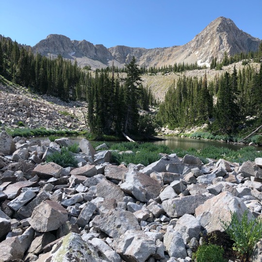
Pfeifferhorn, SLC, UT
#nature#utah#mountains#hiking#landscape#salt lake city#lake#forest#pfeifferhorn#peak#maybird gulch#wasatch#wasatch mountains
32 notes
·
View notes
Text
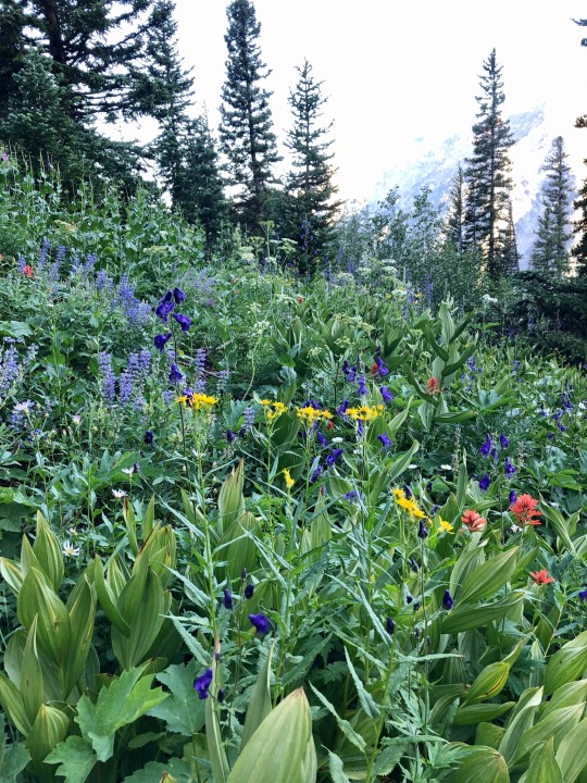
#fields of flowers#nature#utah#mountains#hiking#landscape#salt lake city#forest#flowers#wildflowers#maybird gulch
30 notes
·
View notes
Text

#nature#utah#mountains#hiking#landscape#salt lake city#forest#lupine#alpine paintbrush#wildflowers#flowers#purple flowers#red flowers#pink flowers#maybird gulch#wasatch mountains
22 notes
·
View notes
Text

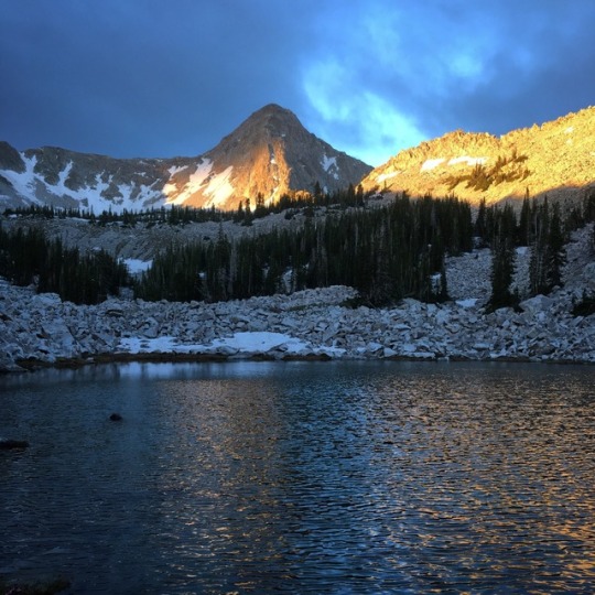
Folklore Vibes
#nature#utah#mountains#hiking#landscape#salt lake city#forest#folklore#wildflowers#maybird gulch#taylor swift
17 notes
·
View notes
Last Seen Blogs

stopisa
coziest bakery in town!

xiaongh
19

eternallyamused
How many nights does it take to count the stars?

sevenring
lipe