
paulbeal
Paul Beal
Exploring the amazing countryside of Northern England.
762 posts
Don't wanna be here? Send us removal request.
Last Seen Blogs

fictif-focused-ocs
Blog for my Fictif-focused ocs

cant-fight-the-flex
Welcome To The Flex Fighters Fandom Travler

shipp-idoler
y'all are cool


flou-art
flou
Text


🌄 Place Fell Walk: Lake District Summit Views and Lakeside Paths
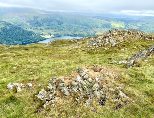
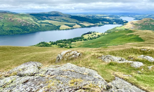
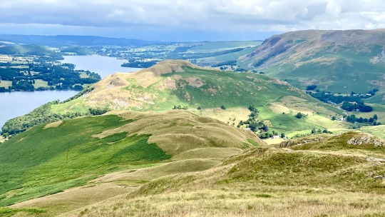
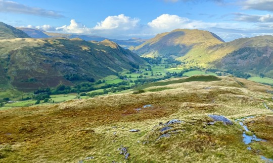
🚶♂️ A couple of days ago, I shared a post about my 12-mile Ullswater walk in the Lake District. This fantastic route begins in Patterdale, ascends to Beda Fell offering stunning views, and returns along the Ullswater Way. You can read about the walk here:
👟 If you're interested but prefer a shorter distance, I recommend another similar walk of about 8.5 miles. It starts from Patterdale, climbs to Place Fell with its breathtaking views, descends to Sandwick, and then joins the Ullswater Way, just like the longer route. All the usual details including maps, tools, statistics, and parking information can be found on my website. Here is the link to read about this shorter walk:
0 notes
Text
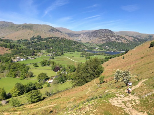


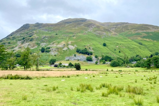
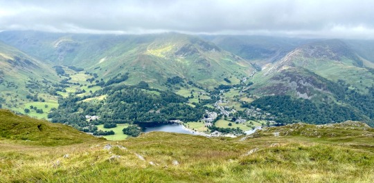
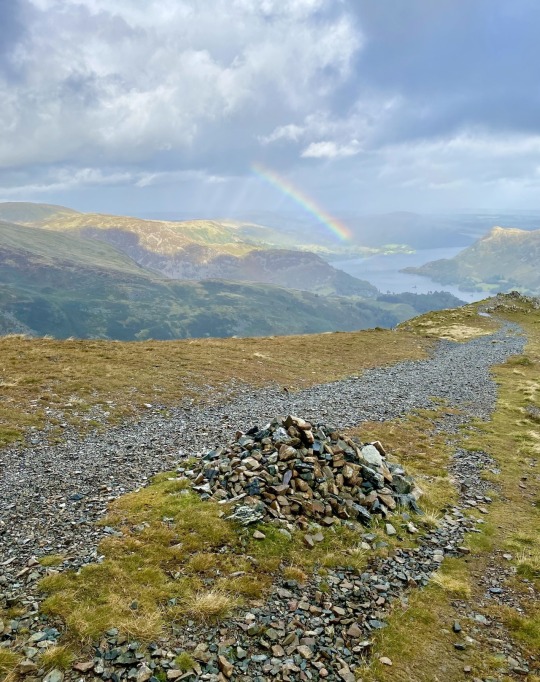
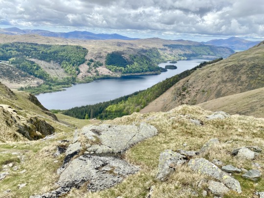
🌄 Ullswater Walk: Grand Beda Fell Views and Scenic Lakeside Paths
👋 Hello everyone, I’m thrilled to share a new guide on my website about my Ullswater walk in the Lake District. It’s a 'walk of two halves', starting with an ascent from Patterdale to the peak of Beda Fell, which offers spectacular views, and concluding with a leisurely stroll along the shores of Ullswater.
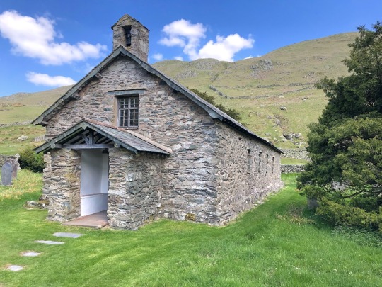
🚶♂️ The adventure begins in the village of Patterdale, passing through a quaint hamlet before climbing to the picturesque Angle Tarn and progressing to Beda Head’s summit. Here, you will be greeted with breathtaking panoramas. The descent leads to Martindale, where you might consider stopping for lunch at the charming St Martin’s Church. You then have the option to shorten your walk or continue past St Peter’s Church, following a peaceful path by the lakeshore around Hallin Fell.
🏞 Complete your journey along the popular Ullswater Way, returning to Patterdale. As usual, I’ve included all the necessary details, including maps, tools, and comprehensive statistics about the walk, such as distance, duration, ascent, and parking information. You can also access the route on OS Maps or Outdooractive to download, print, or even explore a 3D fly-over.
🔗 Visit my website to fully prepare for this thoroughly rewarding, albeit tiring, day out!
0 notes
Text


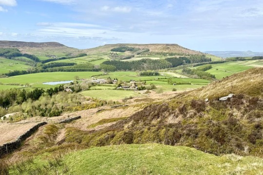

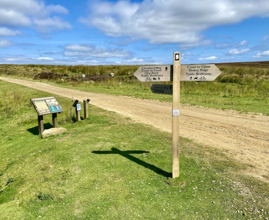
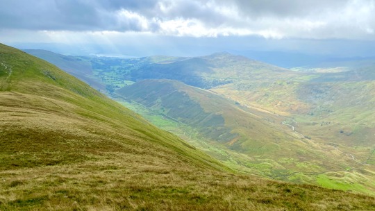
🌲 Lordstones Walk: Experience Wainstones and Cringle Moor Views
🚶♂️ Here's a rewarding walk in the North York Moors, offering stunning views, a solid workout, and the chance to breathe in plenty of fresh air amidst beautiful scenery. The adventure starts at the Clay Bank car park, just south of Great Broughton. Begin by heading onto the Cleveland Way, ascending the stone steps up to White Hill, which boasts breathtaking views.
🌄 Continue along the Cleveland Way to reach the Wainstones, a striking rocky formation. After navigating Wainstones, the trail ascends to Cold Moor, presenting further impressive vistas towards distant Teesside.
⛰️ After Cold Moor, undertake a third ascent to reach Cringle Moor. Then descend westward to Lordstones, where the café offers a perfect spot for refreshments.
🏞️ Departing from Lordstones, the route passes through fields and farmland en route to Chop Gate village, followed by a challenging climb to Medd Crag on the western edge of Urra Moor.
🌅 Proceed along the path, enjoying the dramatic views over the Bilsdale valley. Eventually, you’ll reach the Urra Moor hilltop viewpoint. From there, descend to the main road and return to the car park, concluding a memorable trek through the North York Moors.
🔗 Check out the full details and map of the walk, freshly uploaded to my website:
https://www.paulbeal.com/lordstones-walk
0 notes
Text


🌄 Announcing the Deepdale Horseshoe Walk
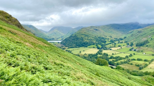
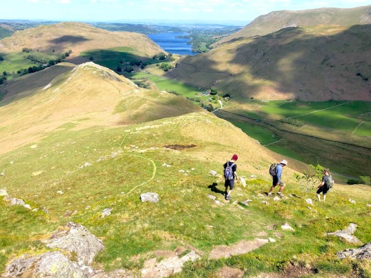
🥾 Hi all, I'm thrilled to share this fantastic horseshoe-style walk in the Lake District—the Deepdale Horseshoe walk. It's now live on my website! This journey begins in Patterdale and is one of my favourite Lake District walks, which I highly recommend. Everything you need to know about the walk, including parking details, maps, statistics, photos, and much more, is detailed on the site.
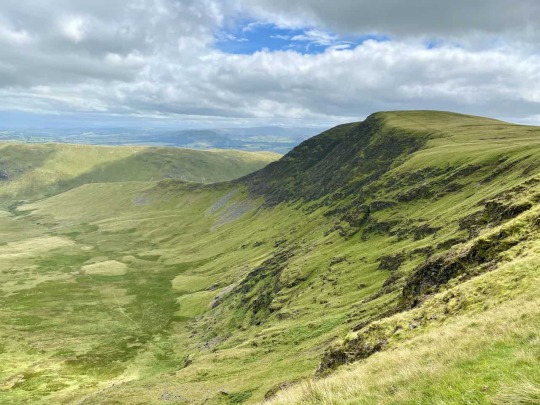
⛰️ The adventure starts with an ascent to the summit of Birks, your first Wainwright fell of the day. This peak provides a perfect spot for a break, offering stunning vistas of the surrounding landscape. From there, continue to the majestic St Sunday Crag, your second Wainwright, where an exploration of its broad plateau reveals breathtaking views over Deepdale.
🌲 The route then takes you over the rugged terrain of Cofa Pike leading up to Fairfield, Wainwright number three, famous for its extensive panoramic views that cover nearly the entire range of Lake District mountains. The journey continues eastward, crossing Link Hause to ascend Hart Crag, your fourth Wainwright fell.
🏞️ Your descent begins by crossing Hartsop above How, Wainwright number five. This ridge walk offers one of the best descents in the Lake District, characterised by gentle slopes, narrow ridges, and dramatic views into Deepdale and Dovedale. Finally, the trail leads through woodland and pasture to Deepdale Bridge on the A592 and back along the footpath to Patterdale.
🚶♂️ This invigorating 9½-mile Deepdale Horseshoe walk is a remarkable route for any walking enthusiast in the Lakes, comparable to other renowned circuits like the Coledale Horseshoe, Newlands Horseshoe, and Kentmere Horseshoe.
👉 Discover more about this captivating trail and start planning your adventure by following the link below.
0 notes
Text


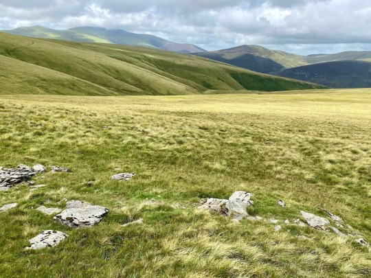


🌍 Bannerdale Crags: Walk from Mungrisdale and Ascend Souther Fell, Blencathra, and Bowscale Fell
👋 Hello fellow hikers! Just to let you know I’ve added one of my favourite Lake District walks to my website.
🏞️ This scenic route covers 11 miles through some of the most breathtaking landscapes, including the dramatic ascents of Souther Fell, Blencathra, and Bowscale Fell. It’s a journey I highly recommend for its stunning views and memorable trails.
👣 Check out the full details and get ready for your next adventure!
0 notes
Text


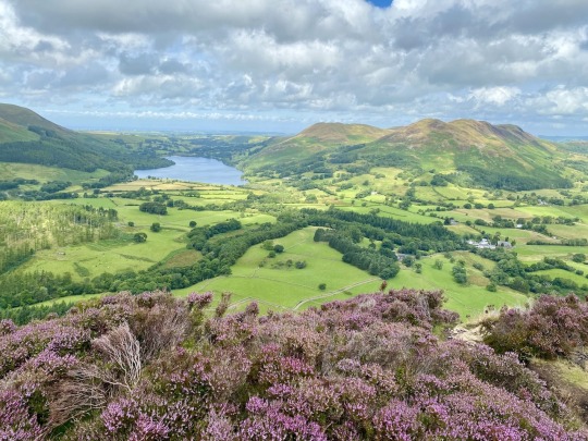

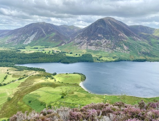
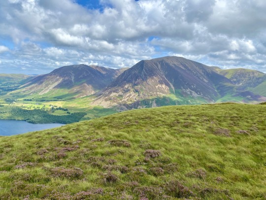
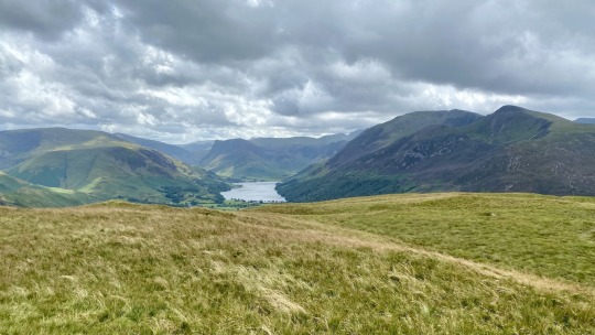
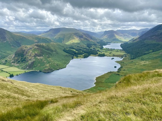

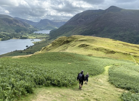
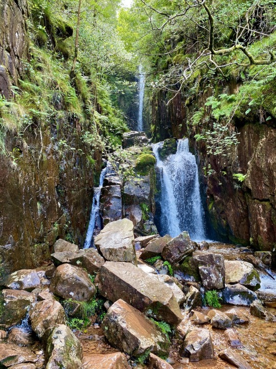
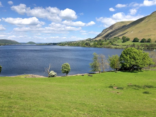
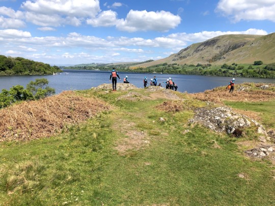
🌿 Discover the Enhanced Mellbreak Walk in the Heart of the Lake District
👟 Ready for an adventure that will take your breath away? I've just revamped my Mellbreak walk guide. Imagine an 8-mile journey through the heart of the Lake District, where every turn reveals another stunning vista. From the challenging ascent towards Mellbreak's North Top to the serene stroll along Crummock Water's western shore, this walk is a treasure trove of natural beauty.
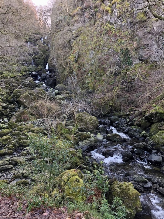
🗺 Whether you're a seasoned hiker or looking for a memorable day out, my guide has everything you need to make the most of this spectacular route. I've included all the insider tips, so you can enjoy the cascading Scale Force waterfall, the tranquil shores of Crummock Water, and the breathtaking views from Mellbreak's ridge, hassle-free.
💼 Don't miss out on this Lake District gem. Click the link below to access the enhanced Mellbreak walk guide. Lace up your boots and hit the trail.
0 notes
Text


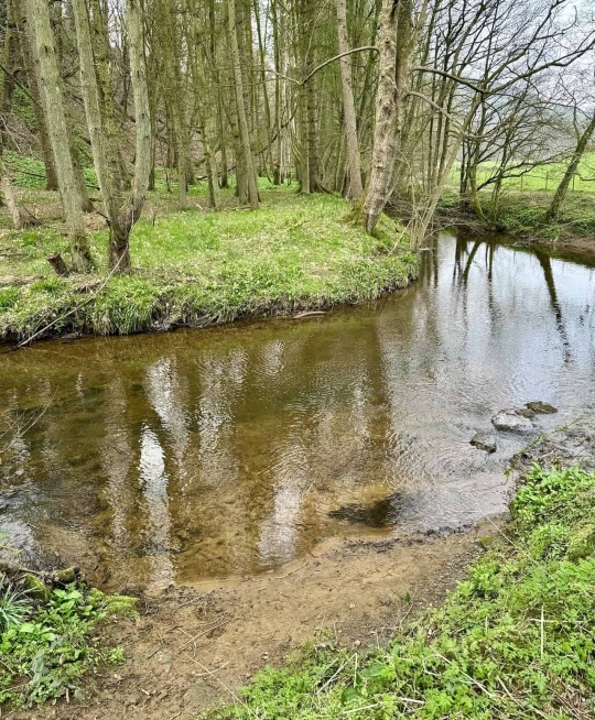
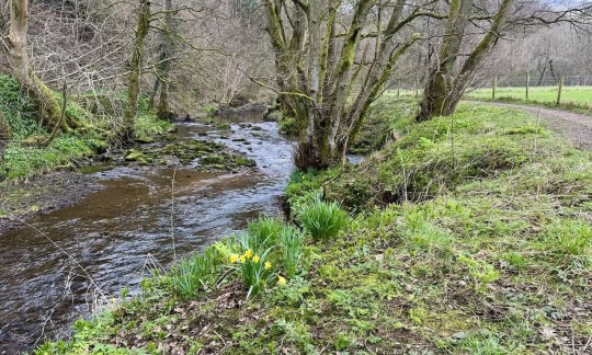


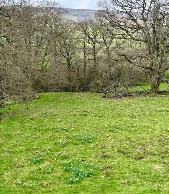


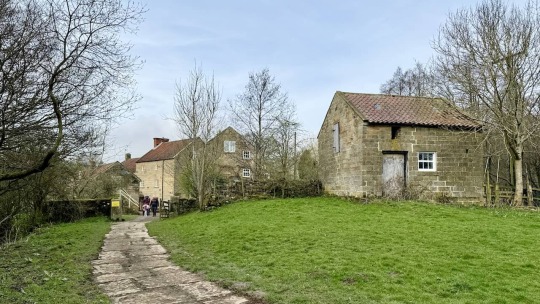

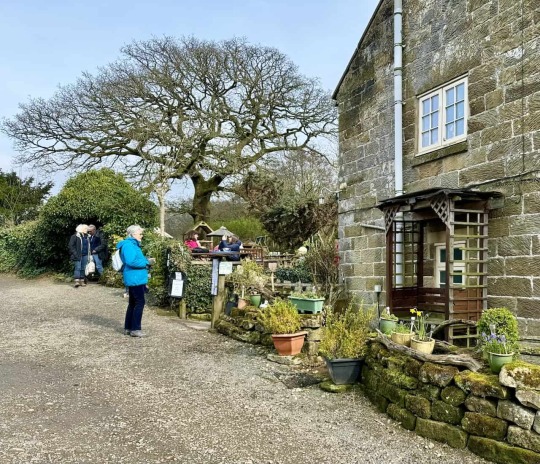


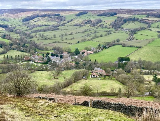
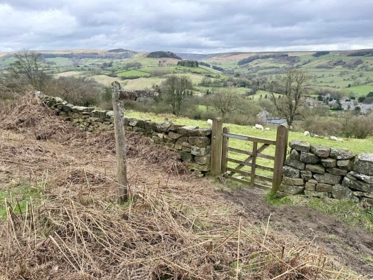
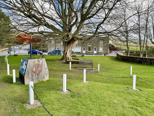
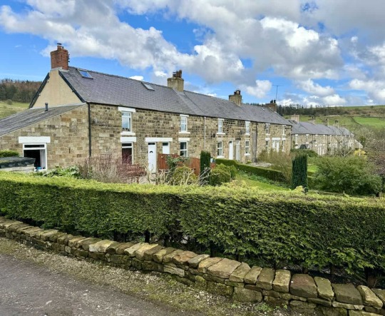
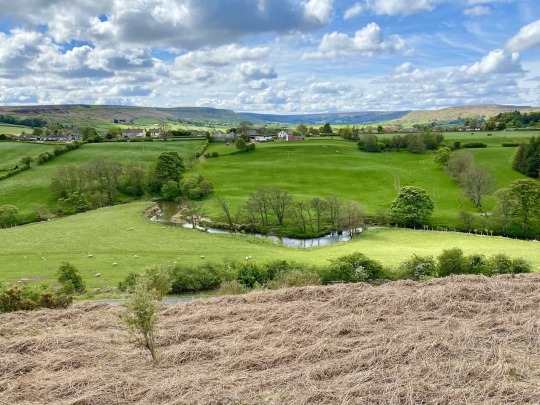
🌼 Explore the North York Moors with These Easy Farndale Walks
🚶♂️ The daffodil season is coming to an end now, but you can enjoy the Farndale daffodils walk in the North York Moors at any time of the year. On my website, you'll find two guides that might pique your interest.
👨👩👧 The first guide details a linear route, there and back, just a tad under four miles, perfect for the entire family. It's accessible for pushchairs and wheelchairs, starting from Low Mill. A nicely surfaced track leads you alongside the River Dove through the Farndale valley to Church Houses. For the return journey, you'll retrace your steps back to Low Mill. Discover more at:
🔄 The second guide offers a circular route, also just slightly less than four miles. This adventure begins in Church Houses, with the first half taking you across farmland to Low Mill. It involves a bit more ascent, nothing too strenuous but rewarding you with splendid views. The latter half of the walk brings you back along the track by the River Dove in the Farndale valley. For further details, visit:
📷 Both walks are leisurely, enjoyable, and well-documented on my website, where I've included all the essential details such as parking, maps, tools, and a selection of my photos to give you a taste of what to expect. Remember, the beauty of Farndale isn't just for spring; these walks are delightful all year round.
😁 Happy walking!
0 notes
Text


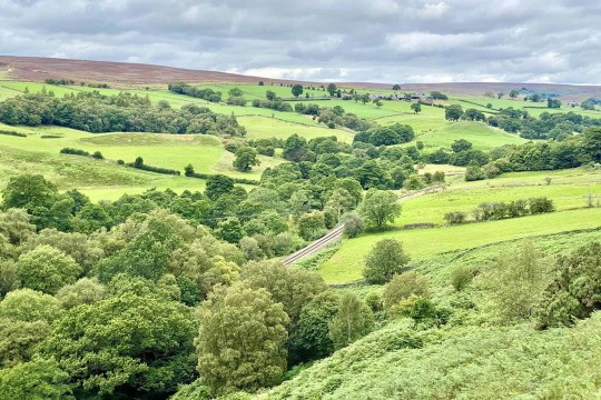
🌿 A Return Journey to Rosedale
🚶 Early last week, I shared my delightful day out on the Rosedale Railway walk in the North York Moors. Covering a 12-mile anti-clockwise route, this walk traces the entirety of the old disused railway line, skirting the upper edge of the Rosedale valley. For those interested, I detailed this adventure on my website:
🔄 My initial experience was so enchanting that I felt compelled to return later in the week. My goal was to document a shorter, clockwise version of the walk. I have now published this account. This 9-mile trek encompasses most of the original railway route, excluding a minor section. You’ll find that it retains the majority of the vistas and points of interest featured in the longer version:
🌄 Despite a somewhat steep climb out of the Rosedale valley midway through, the path remains flat, straightforward, and wonderfully scenic for the most part. It offers a pleasant walk with breathtaking views, making it a thoroughly enjoyable expedition.
0 notes
Text


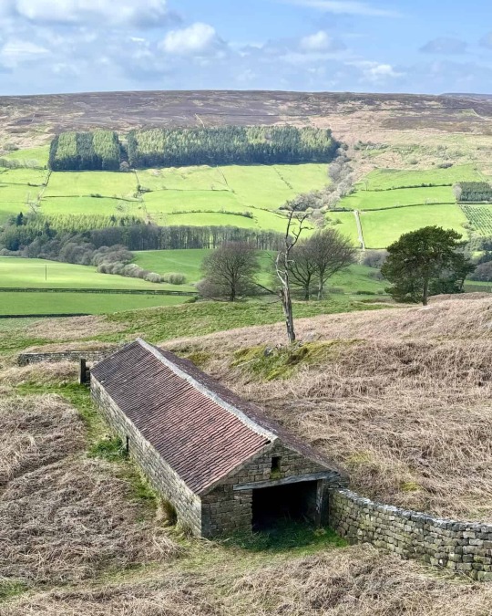
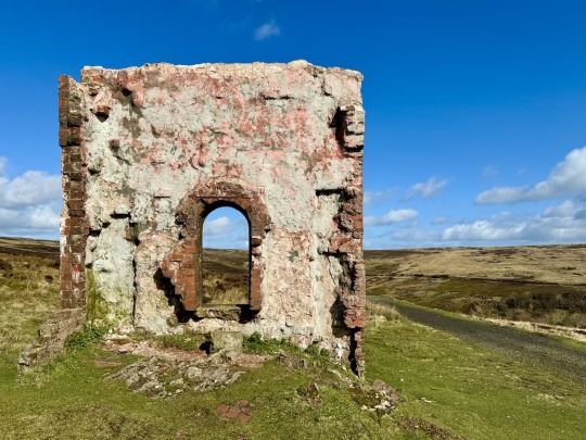
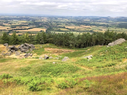
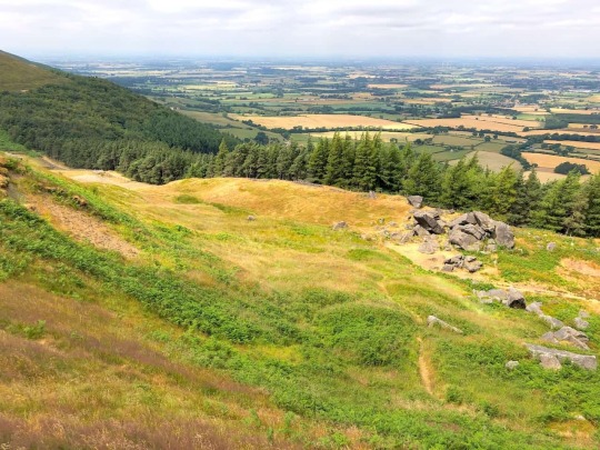
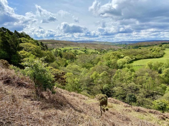
🥾 Exploring Urra Moor
🌲 Hello all you North York Moors hiking enthusiasts!
🌳 I've just updated the details of our memorable Urra Moor walk from last August on my website.
🌄 Whether you're seeking the tranquillity of countryside trails or the stunning vistas along the Cleveland Way, this walk has everything you need for your next adventure.
🔍 Dive into the fresh details and plan your journey to explore the breathtaking landscapes of the North York Moors. Check it out now on my website:
0 notes
Text


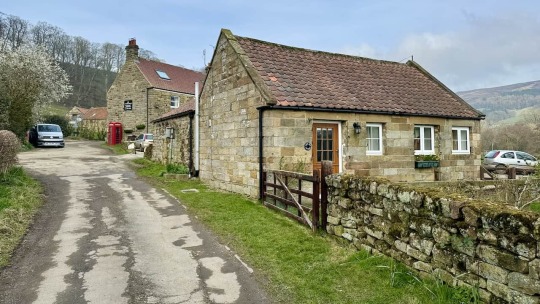
🌿 Rosedale Abbey Railway Walk: Historic Kilns and Stunning Views
🚶♂️ Enjoy a magnificent day out in the North York Moors with my take on the Rosedale Abbey railway walk, ideal for a clear day.
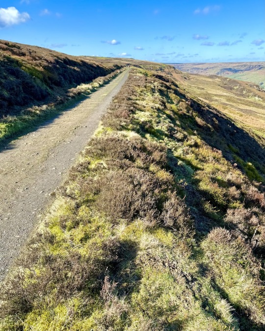
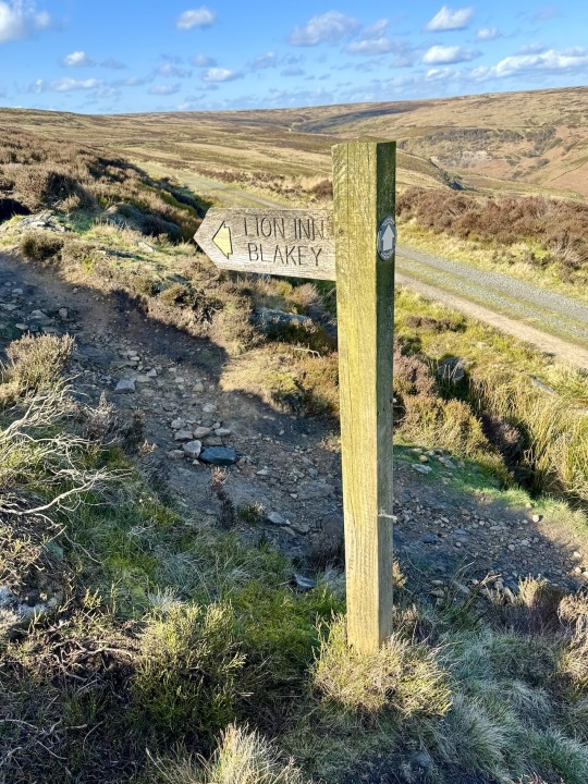
🌄 Starting at a handy car park near the Lion Inn on Blakey Ridge, this walk follows the old disused railway, circling the Rosedale valley rim.
🏞️ Discover Victorian era stone and iron kilns and take a charming detour through Rosedale Abbey village.
👣 Easy to navigate, the 12-mile track through the North York Moors offers stunning views and historical sites. For more details, visit my website:
0 notes
Text


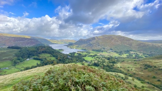
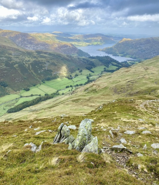
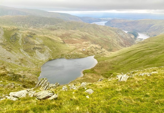
🚶 Exploring Helvellyn: A Journey Beyond the Crowds
🍃 A few months ago, I shared a guide on my website titled ‘Helvellyn Walk from Thirlmere: A Guide to a Less Crowded Ascent’.
🔗 You can read about the walk here:
🌳 This 7-mile journey begins at Swirls Car Park and leads to the Helvellyn summit from the west. The guide's popularity has encouraged me to detail another Helvellyn trek, starting again from the Thirlmere Reservoir side. However, this path stretches over 11 miles, presenting a slightly more demanding challenge.
🏞 The adventure kicks off in Legburthwaite, nestled in St Johns-in-the-Vale, where a conveniently located car park awaits near the B5322. After tackling the initial steep ascent to Sticks Pass, you're rewarded with a magnificent ridge walk. This route covers Raise, White Side, Helvellyn’s Lower Man, and, finally, Helvellyn itself. It concludes with one of the Lake District’s finest descents, meandering above Comb Crags, which boast breathtaking views of Thirlmere.
🔗 Check out the walk here:
🌄 I've enriched the guide with numerous details, including a concise route description, maps, statistics, and a selection of my photographs. I highly recommend this walk for those in search of an energetic outing.
0 notes
Text
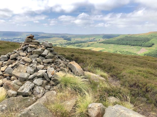


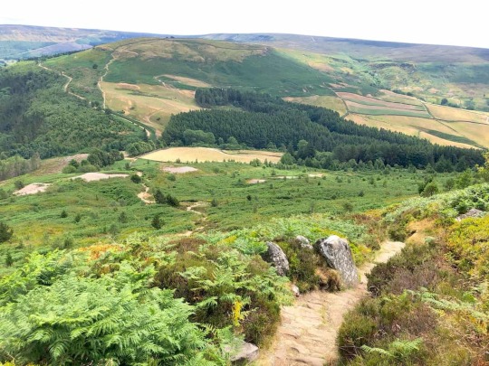


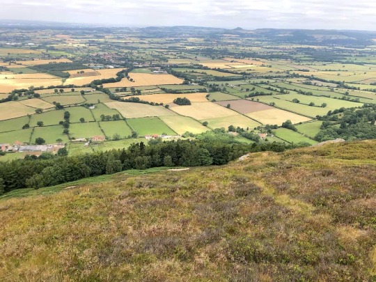
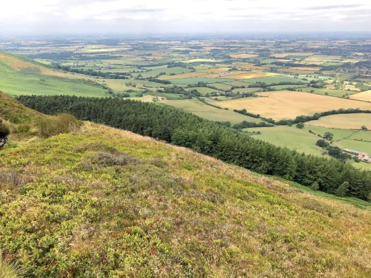


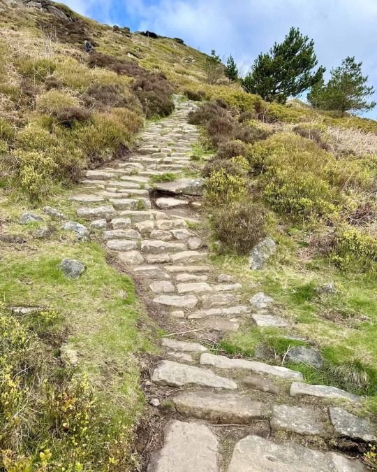
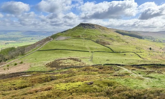
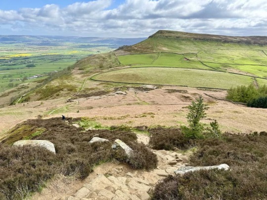
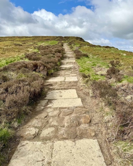
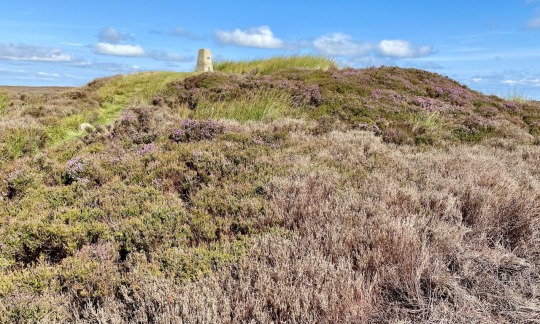
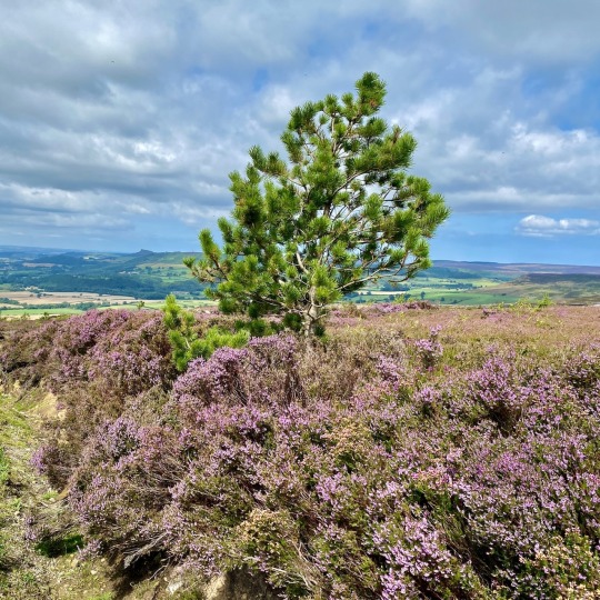
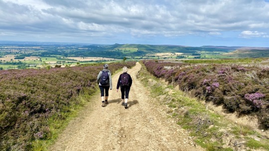
🥾 Explore the Wainstones Circular Walk in the North York Moors
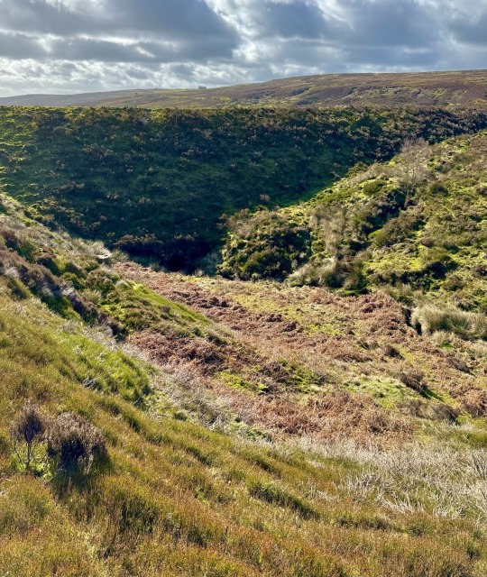
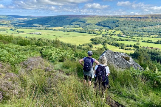
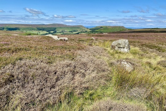
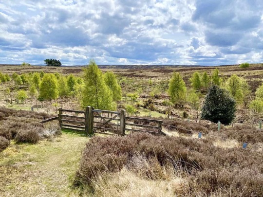
🌄 Prepare yourself for some of the most spectacular views the North York Moors has to offer, as you ascend the heights of Cold Moor on your way to the magnificent rock formations known as the Wainstones. This 8-mile circular route commences at Chop Gate, incorporating exhilarating segments of the Cleveland Way National Trail and skirting Urra Moor, the North York Moors' highest point, on your return journey.
🌍 The route unfolds breathtaking panoramas across Teesside and the Bilsdale valley, complemented by the intriguing spectacle of the Wainstones. Parking is conveniently located at the village hall in Chop Gate, next to the B1257 Stokesley to Helmsley road, with the Buck Inn close by for well-deserved refreshments after your adventure.
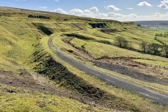
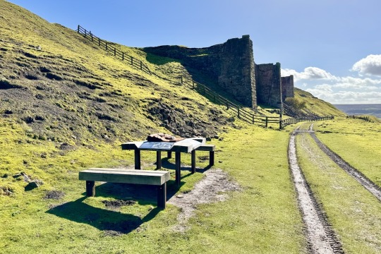
🏞 Nestled within the North York Moors National Park, the Wainstones are impressive sandstone crags, constituting the moors' largest such formation. Millennia of resistance to weathering have carved out a dramatic landscape of pillars, buttresses, joints, and fissures.
📸 I’ve just published comprehensive details of the walk, including all the usual information like directions, maps, statistics, and photographs. Discover the full details here:
0 notes
Text

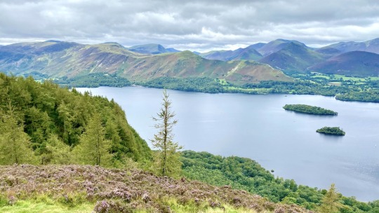
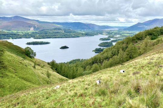


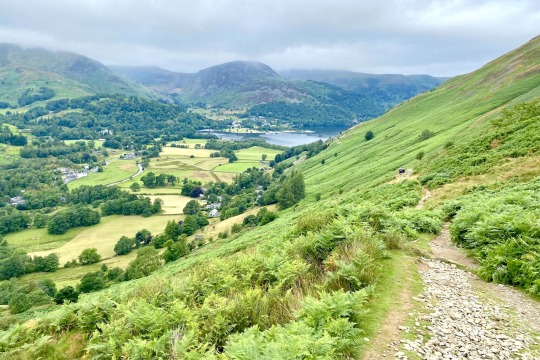
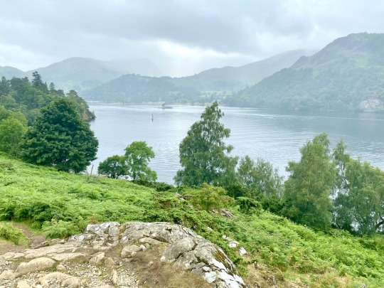
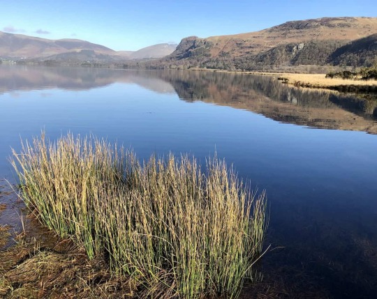
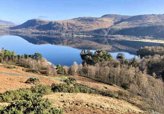
🚶♂️A Guide to the Walla Crag and Derwent Water Walk
📝 A couple of days ago, I published an article on my website about a circular walk around Derwent Water. You can view it here:
🏞 The walk begins in Keswick and circumnavigates the lake in a clockwise direction. Despite being a low-level walk, it boasts some amazing views.
🌄 However, if you're in the mood for a walk of a similar length that starts from Keswick but offers a bit more elevation, you may find my guide to the Walla Crag walk more appealing:
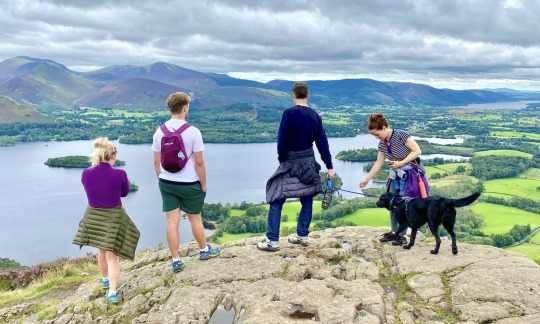
⛰ Walla Crag is a charming hill to climb, offering views from its summit across Derwent Water and beyond that are truly spectacular. At about 380 metres, its height is modest by Lake District standards. In comparison, giants like Scafell Pike, Scafell, Helvellyn, Skiddaw, and Great End all tower beyond 900 metres. Yet, Walla Crag proves that you don't need to scale the tallest mountains to enjoy breathtaking views.
📸 On the page, as usual, I've included walking directions, photos, statistics, information about which maps to use, and some insights into the fell itself.
🥾 The walk is perfect for beginners and seasoned hikers alike; the views are extraordinary, and it's easily accessible from Keswick. This spares you the drive down some of the Lake District's winding, narrow roads. Keswick is a delightful town to explore, whether at the start or end of your hike.
📢 If you've already been to the top of Walla Crag and have photographs, please don't hesitate to share them in the comments below.
🥾 All the best and happy walking, Paul.
0 notes
Text
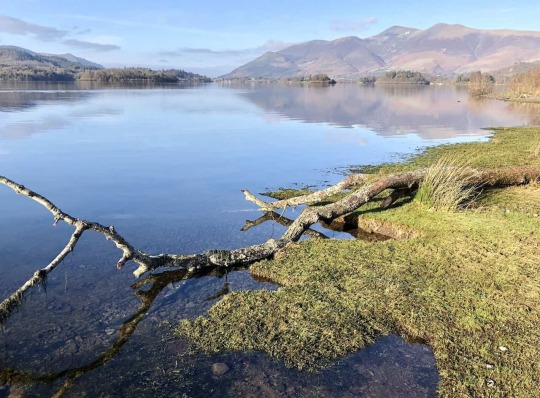

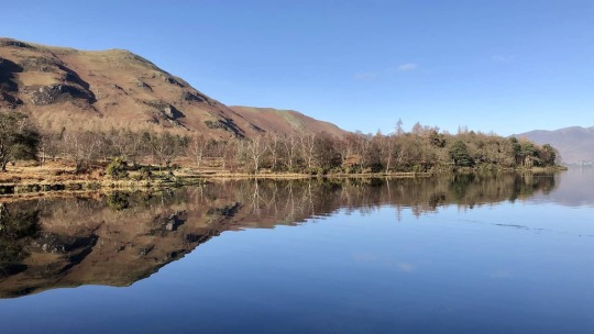

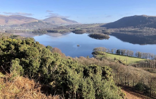
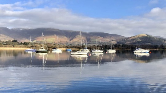
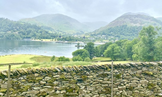
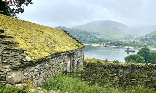
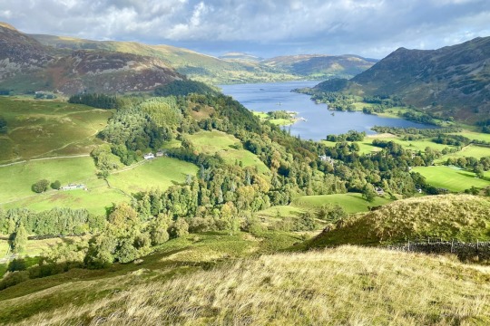
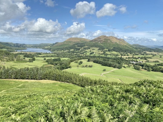
🌄 Discover Derwent Water: A Circular Walk in the Lake District
🚶 Have you thought about walking around Derwent Water in the Lake District? If so, you might be interested in a new page I've just written on my website:
https://www.paulbeal.com/derwent-water-circular-walk
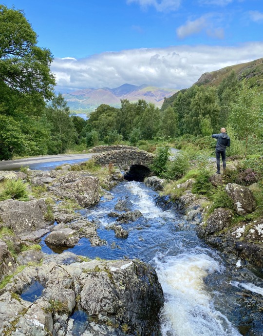
🏞 My Derwent Water circular walk, outlined in a clockwise direction, is a stunning adventure starting and ending in Keswick. This scenic route initially takes you along the eastern edge of Derwent Water. You'll encounter remarkable landmarks such as Friar’s Crag, The Ings, and the Millennium Seat, where breathtaking views across Derwent Water towards the Borrowdale valley await. Don't miss the Centenary Stone and the enchanting Scots Pines.
💦 Depending on the lake's water level, you might continue along the lakeshore to Ashness Gate Landing Stage or take a detour along a roadside footpath. You'll circle around Barrow Bay, and then consider a detour to Lodore Falls if you're keen on exploring further. After crossing the picturesque Chinese Bridge, you'll join the Cumbria Way.
🌲 Prepare for an awe-inspiring ascent to higher ground near Manesty and below Cat Bells, where unforgettable views of the landscape await. The final stretch of your walk winds through the village of Portinscale, crosses the River Derwent, and brings you back to Keswick. Covering around 10 miles, this walk offers you an experience to remember.
0 notes
Text


🚶♂️ New Walk Alert: Castleton Walk in the North York Moors 🚶♀️
📌 Hello, everyone! I'm excited to share a new guide on my website: 'Castleton Walk: Trekking Ancient Pathways in the North York Moors.' This circular walk covers 12½ miles and takes about 5¾ hours to complete, offering a splendid way to enjoy the stunning landscapes of the North York Moors.
📍 Starting in Castleton, the walk begins just south of the road bridge over the River Esk. The route crosses a variety of rugged terrains and historic paths, including the Esk Valley Walk, Quakersʼ Causeway, and Panniermanʼs Causeway. Each path has its own unique appeal.
🏘️ On your route, explore the charming village of Commondale. After completing the walk, Castleton itself offers an excellent opportunity for further exploration. The path leads you through expansive moorlands, over the ancient stone slabs of Quakersʼ Causeway, and through the tranquil Danby Park's Silver Birch woodland, which is just one of the many highlights of the walk.
🔗 Interested in this adventure? For a detailed guide and to start planning your walk, visit my website:
0 notes
Text


🚶♂️✨ New Walk Alert: Discover the Danby Walk in the North York Moors! ✨🚶♀️
Exciting news for all you walking enthusiasts out there! I've just launched a detailed guide to the North York Moors' Danby Walk on my website. A 12½-mile journey through the breathtaking landscapes of the North York Moors, featuring spectacular views of Little Fryup Dale and Great Fryup Dale - yes, you've read that right - they're real places 😆 🌿🏞️
👣 Highlights of the Danby Walk:
Start from the heart of Danby, a lovely village.
Explore the Ainthorpe Rigg moorland.
Marvel at the views into Little Fryup Dale and Great Fryup Dale.
Conclude with a peaceful trek through Danby Park's woodlands.
🗺️ Plan Your Adventure:
I've made it easy for you to dive into the details. Visit my website for in-depth route descriptions, and access handy tools on OS Maps and Outdooractive platforms – including route downloads, 3D fly-overs, and more!
Click the link below to explore the Danby Walk guide and start planning your next outdoor adventure. 🌲👟
0 notes
Text


🥾Iconic Lake District Horseshoe Walks: The Kentmere
🏞The topography of the Lake District, characterised by its mountain ranges and valleys, naturally lends itself to numerous horseshoe walks. These are circular, high-level routes that frequently incorporate a ridge or a series of peaks, typically winding around the top of a valley.
🗺Examples of such walks include the Fairfield Horseshoe, the Coledale Horseshoe, the Mosedale Horseshoe, the Deepdale Horseshoe, and the Newlands Horseshoe.
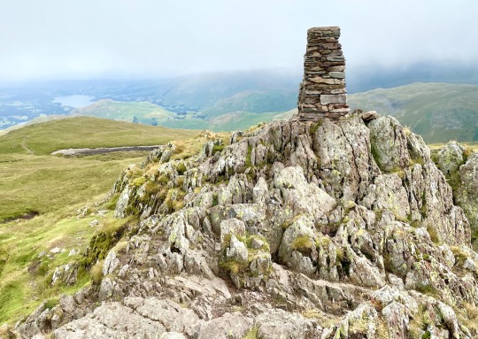
🌄Adding to this list is the Kentmere Horseshoe, details of which I've recently published on my website. This route is fairly lengthy and challenging, spanning about 13 miles and taking 7-8 hours to complete, but, like the others, it offers amazing views and is exceptionally rewarding.
🌤I recommend attempting the Kentmere Horseshoe on a pleasant spring or summer day. For further details, including parking, walk statistics, maps, and photos, please visit my website.
0 notes