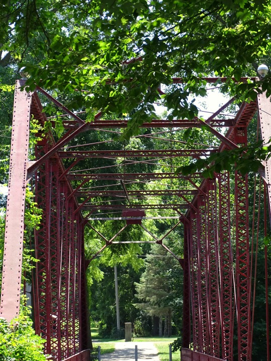
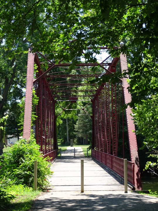
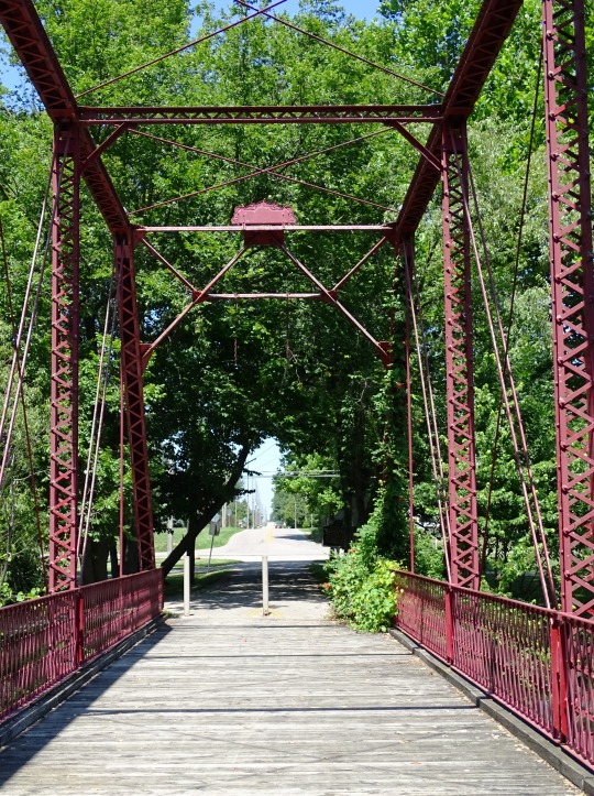
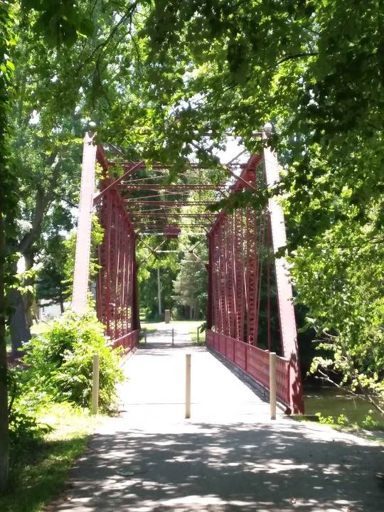
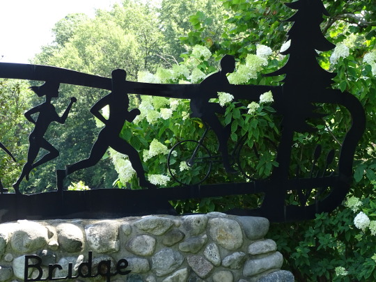
#Old Chinworth Bridge
Photo
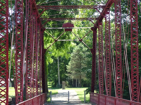
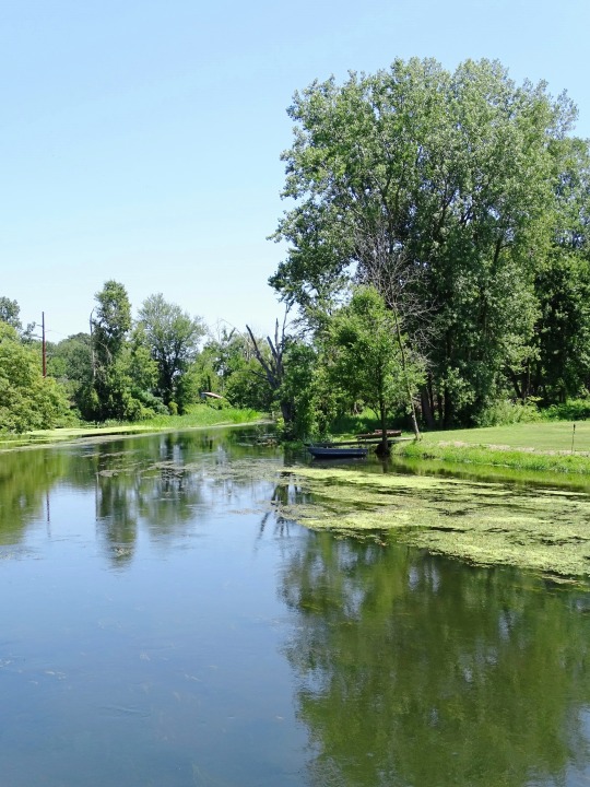

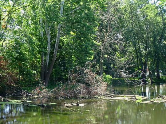
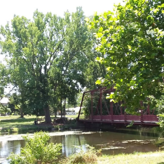
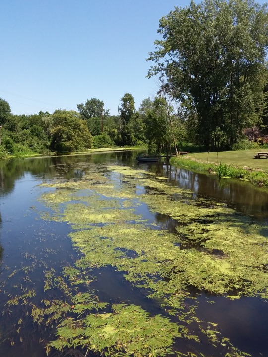
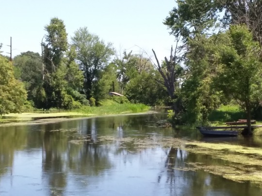
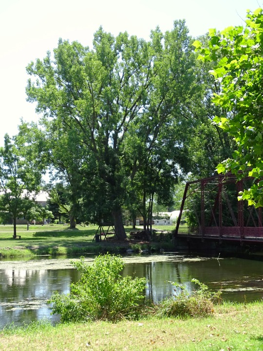
Tippecanoe Rest Park, IN (No. 2)
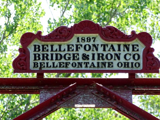
The bridge is significant locally as the only Pratt through truss bridge remaining in Kosciusko County, and is important regionally as one of the few surviving spans built by the Bellefontaine Bridge and Iron Company.
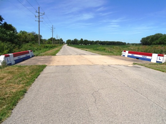
Just west of the bridge was a ford across the Tippecanoe River. The Yellowstone Trail passed on the south side of the river. A marker has been maintained at this location. A post with yellows bands and a "Y" in a black circle In 1884, a new bridge across the Tippecanoe River was requested to connect Warsaw, on the south with a to Atwood and Etna Green on the north. It crossed the property of Robert Chinworth. Capt. David Braden working for the Bellefontaine Bridge and Iron Company agreed to erect a 140 feet (43 m) span over the Tippecanoe River, at a total cost of $2520.00. The bridge opened in August, 1897. In 1924, with the construction of U.S. 30 the Chinworth Bridge was bypassed as it could not handle modern vehicular traffic. The Indiana State Highway Commission, created Tippecanoe Rest Area adjacent to the Chinworth Bridge.
In 1975, the enhanced 4-lane U.S. 30 was located north of the Chinworth Bridge. The bridge was closed to all vehicular traffic at that time. In July the Kosciusko County Historical Society obtained the Tippecanoe Rest Park from the State Highway Department. The KCHS dedicated the bridge as a historic landmark on July 6, 1975.
Source: Wikipedia
#Tippecanoe Rest Park#Tippecanoe River#Old Chinworth Bridge#travel#USA#water#nature#flora#tree#boat#engineering#Kosciusko County#Indiana#summer 2019#original photography#vacation#landmark#tourist attraction#Midwestern USA#Great Lakes Region#rest area#trail#way#green#red#Lake City Greenway#Chinworth Bridge Trail
2 notes
·
View notes
Photo

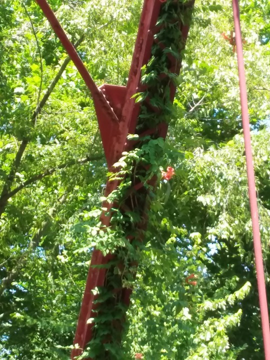
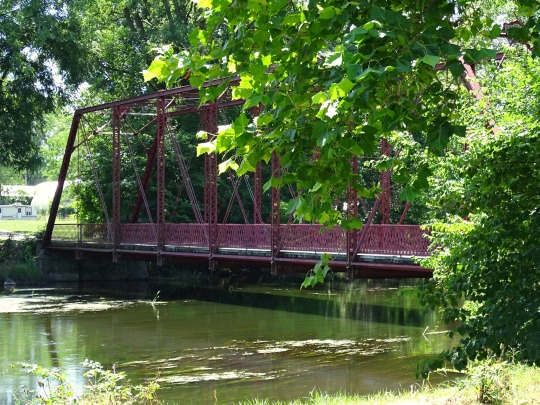
Red in Green
What do you think about my pic?
#Old Chinworth Bridge#Bellefontaine Bridge & Iron Company#Kosciusko County#Pratt through truss bridge#trumpet creeper#trumpet vine#green#red#USA#original photography#Indiana#Midwestern USA#Great Lakes region#travel#summer 2019#flora#nature#blooming#leaves#photo of the day#What do you think about my pic?
2 notes
·
View notes
Photo
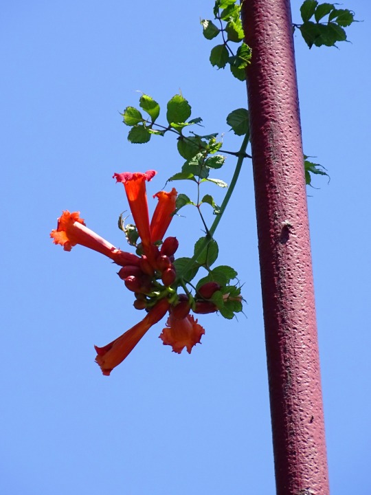
Contrasts
What do you think about my pic?
#Old Chinworth Bridge#trumpet creeper#trumpet vine#hummingbird vine#cow itch vine#flower#fauna#blooming#red#blue sky#green#orange#engineering#Kosciusko County#Bellefontaine Bridge and Iron Company#USA#Indiana#summer 2019#nature#landmark#photo of the day#original photography#What do you think about my pic?#steel#plant#colors#Midwestern USA#Great Lakes region
1 note
·
View note
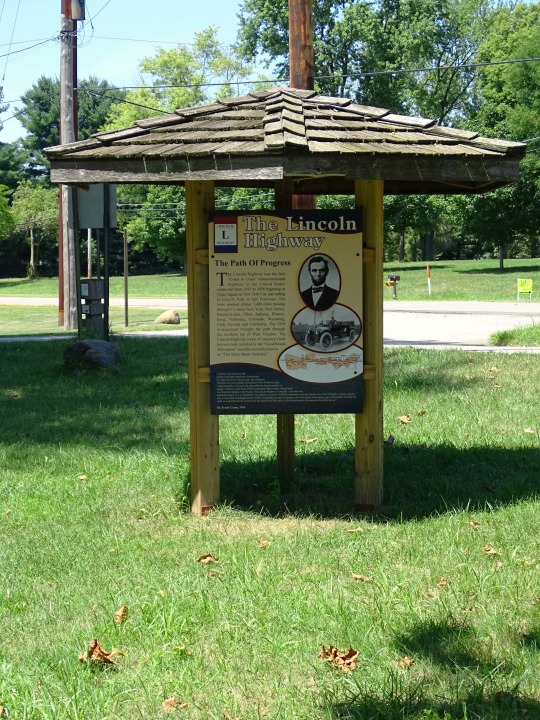
Photo
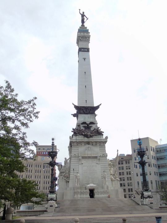
Indiana became the 19th U.S. state on December 11, 1816.
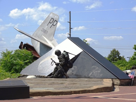
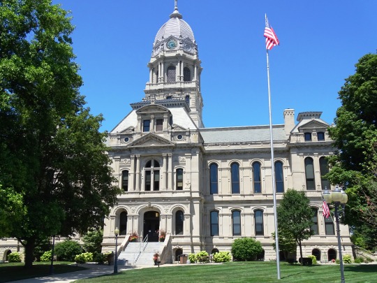
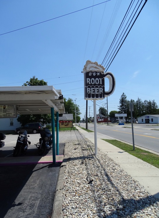
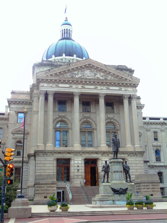
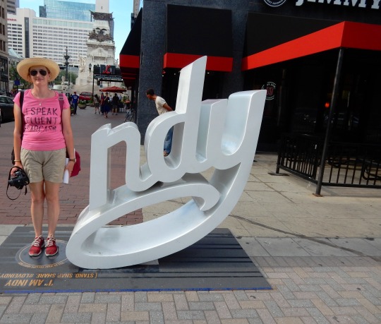
#Indiana#19th US state#11 December 1816#205th anniversary#US history#Munster#Community Veterans Memorial#summer 2019#2016#travel#vacation#original photography#cityscape#landscape#countryside#USA#architecture#Hanna#Lincoln Highway#Old Chinworth Bridge#Wolf Lake Memorial Park#Old Kosciusko County Courthouse#Warsaw#Van Wert#B&K Root Beer Stand#Switzerland County#Indiana State House#Indianapolis#Soldiers' and Sailors' Monument by Bruno Schmitz
0 notes
Text
Day 26 in Indiana
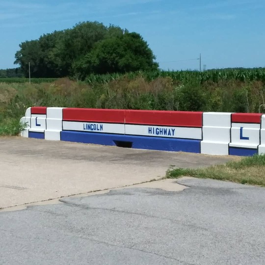
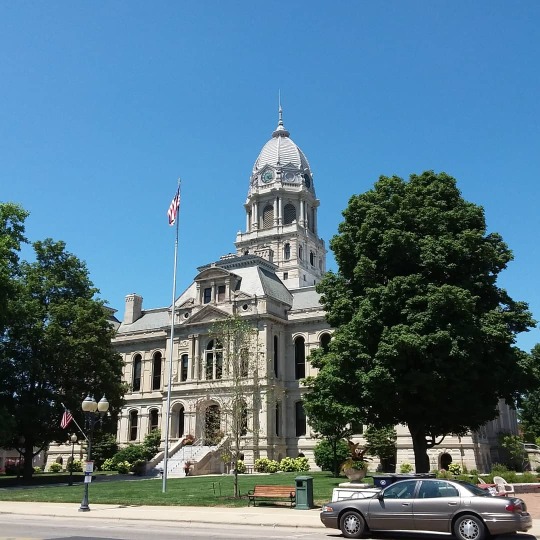
#original photography#travel#usa#vacation#summer 2019#warsaw#indiana#chinworth bridge#tippecanoe river#tree#nature#cityscape#old county courthouse#lincoln highway#lincoln highway bridge#streetscene#landscape#countryside
2 notes
·
View notes
Photo

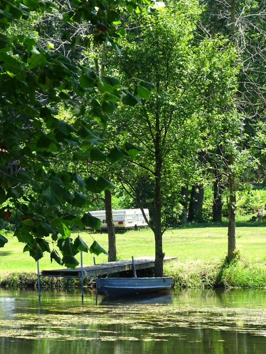
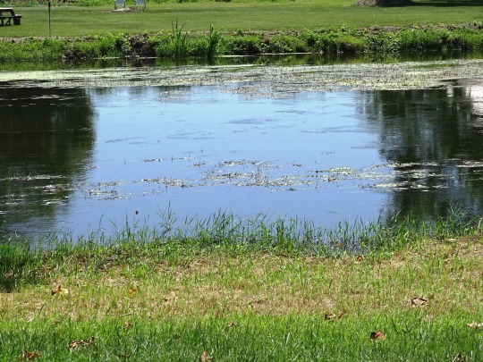
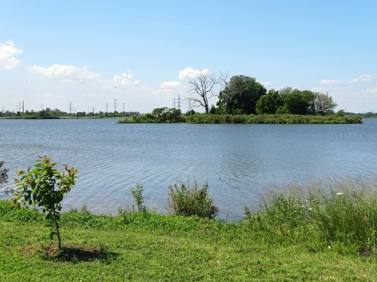
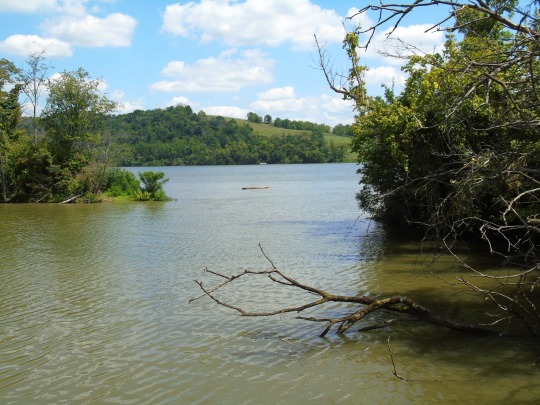
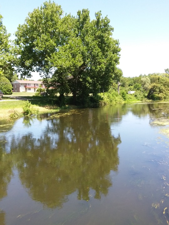
Tippecanoe Rest Park, IN (No. 1)
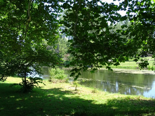
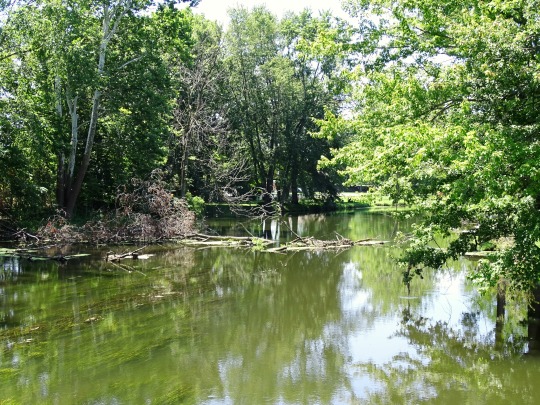
The Tippecanoe River is a gentle, 182-mile-long (293 km) river in the Central Corn Belt Plains ecoregion in northern Indiana. It flows from Big Lake in Noble County to the Wabash River near what is now Battle Ground, about 12 miles (19 km) northeast of Lafayette. The name "Tippecanoe" was derived from a Miami-Illinois word for buffalo fish, reconstructed as */kiteepihkwana/ or as kiteepihkwana siipiiwi.
The Tippecanoe River is fed by 88 natural lakes and has a drainage area of 1,250,000 acres (5,100 km2), spanning 14 counties. It supports more numerous imperiled species and overall species diversity than most streams of the upper Midwest. The Nature Conservancy has identified it as one of the top ten rivers in the United States to preserve due to its ecological diversity and the high proportion of endangered species found in it.
The Battle of Tippecanoe, in which Governor William Henry Harrison defeated the Indian confederacy of Tecumseh, occurred near the south bank of the river. Modern Lafayette developed near this site.
Source: Wikipedia
#Lake City Greenway#Tippecanoe River#Tippecanoe Rest Park#Warsaw#Old Chinworth Bridge#landmark#countryside#travel#vacation#Indiana#summer 2019#Midwestern USA#Great Lakes Region#nature#flora#engineering#USA#water#Chinworth Bridge Trail#Lincoln Highway#Old 30 Hwy#sign#boat#road trip#original photography
3 notes
·
View notes
Last Seen Blogs

germanyofthesand
LadySage

transloverism
butch wizard

the13thtraveler
The Traveller

articuno-dos-tres
Sleepy 🌟

bigduane
fuck u